Hurricane Idalia slammed into Florida on Aug. 30, bringing record-setting floods and intense winds.
The storm, which reached landfall as a Category 3 hurricane, didn't break records because of its wind speeds. What made Idalia remarkable, however, was how quickly it gained power and ferocity.
By 5 a.m. on Tuesday, the storm's wind speeds were around 75 miles per hour. Just 24 hours later, still before it made landfall, Idalia's wind speeds had increased to nearly 130 miles per hour, briefly classifying it as a Category 4 storm.
According to The Hill, a storm can be thought of as rapidly intensifying if, within a span of a day, its winds increase by 35 miles per hour or more. Idalia's wind speeds increased by 55 miles per hour over just one day.
This rapid intensification of storms can be attributed, in part, to much warmer ocean temperatures, caused by our Earth's overheating. Earlier this summer, the water off the coast of Florida exceeded temperatures of 100 degrees, and warm water has continued to be an issue since then.
In addition to warmer waters — which hold more energy for storms to pull from — weaker atmospheric winds higher up and a moist atmosphere also can create conditions for the rapid intensification of a hurricane.
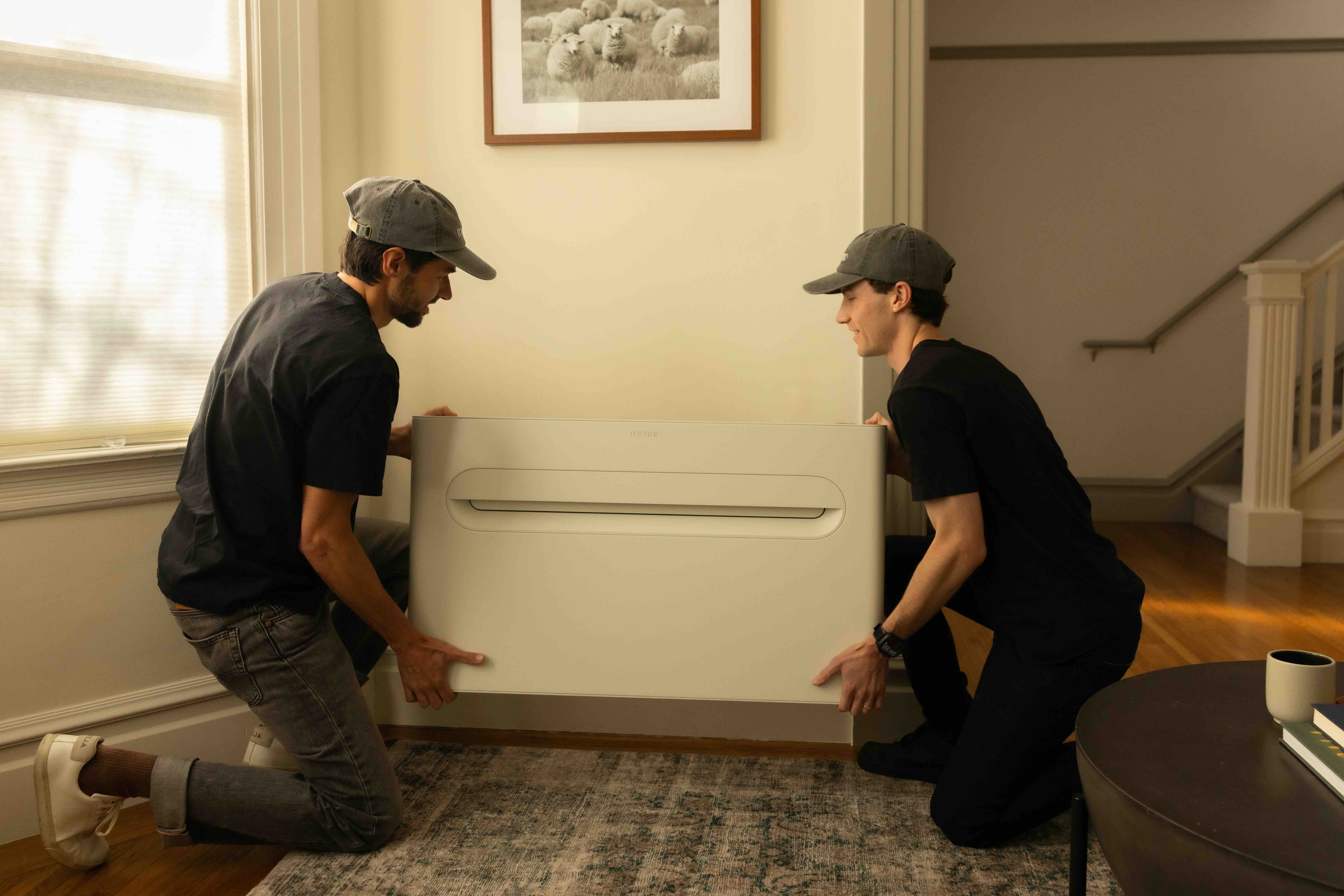
Get cost-effective air conditioning in less than an hour without expensive electrical work The Merino Mono is a heating and cooling system designed for the rooms traditional HVAC can't reach. The streamlined design eliminates clunky outdoor units, installs in under an hour, and plugs into a standard 120V outlet — no expensive electrical upgrades required. And while a traditional “mini-split” system can get pricey fast, the Merino Mono comes with a flat-rate price — with hardware and professional installation included. |
Like our warmer oceans, a wetter atmosphere can also be attributed to our overheating planet — the hotter it is, the more water can be stored in the air.
What the experts are saying
Dr. Allison Wing, an assistant professor and atmospheric scientist at Florida State University, described this intensification process to Inside Climate News, saying, "This year, from a hurricane perspective, we're kind of in uncharted territory."
Idalia 1 of 10 historical storms since 1950 intensifying at least 40 mph in the 24 hours before U.S. landfall. Sobering to see five of those storms occurred in the past seven years. Climate change increases the odds of rapid intensification. https://t.co/1cn6wbcOWD pic.twitter.com/HWTkEpuSqV
— Jeff Masters (@DrJeffMasters) August 30, 2023
One atmospheric researcher at Colorado State University, Phil Klotzbach, explained intensification vividly to The Hill, saying, "It's 88, 89 degrees over where the storm's going to be tracking, so that's effectively rocket fuel for the storm."
A 'new normal' for hurricanes
Deanne Criswell, who serves as the Administrator of FEMA, told Reuters that extreme weather disasters, like Hurricane Idalia, are now a "new normal," before highlighting the importance of preparation for storms.
TCD Picks » Quince Spotlight
💡These best-sellers from Quince deliver affordable, sustainable luxury for all
Yet, if you've seen pictures or footage of these storms, you know there's nothing normal about it.
First, we must take steps to help people impacted by extreme weather — donating food, money, or even blood. On a larger scale, the focus is on lowering our dependence on the dirty energy sources that are warming our air and water and supercharging these storms in the first place.
Join our free newsletter for cool news and cool tips that make it easy to help yourself while helping the planet.


