This blazing summer seemingly has no end, and even Greenland is feeling the heat.
Satellite photos showed that the territory's ice sheet underwent significant melt from June 14 to July 24. Newsweek reported that up to 50% of the surface ice melted to some degree on several days in July, spanning over 300,000 square miles.
What's happening?
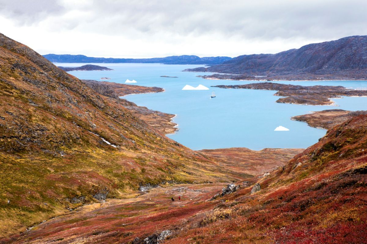
Located in the North Atlantic Ocean, Greenland features the second-largest ice sheet in the world after Antarctica. The ice sheet covers 81% of Greenland, a territory of Denmark, and the melting of this ice has accounted for 0.4 inches of the global rise in sea level since the 1990s, according to Britannica.
The images of the ice sheet, featuring the Frederikshåb Glacier in southwest Greenland, were captured by the satellite-based Operational Land Imager.
Newsweek reported the melting was "thought to be due to plumes of warmer air that have been blowing across Greenland, which have been measured at between 3 and 4 degrees Fahrenheit above the average for this time of year in the southern portion of the ice sheet, and 5 degrees in the north."
After scientists recorded the hottest July on record, it's no surprise the pictures showed stark changes in the ice sheet.
TCD Picks » EDF Spotlight
💡EDF's Vital Signs newsletter delivers stories about game-changing solutions close to home and around the world


"For vast parts of North America, Asia, Africa, and Europe — it is a cruel summer. For the entire planet, it is a disaster. And for scientists, it is unequivocal — humans are to blame," United Nations secretary-general António Guterres said in a statement, per Newsweek. "All this is entirely consistent with predictions and repeated warnings. The only surprise is the speed of the change."
Why is this concerning?
From 2017 to 2020, researchers found "a devastating trajectory" of the melt of the ice sheet.
Tides of warmer waters carved a hole in the ice sheet over the last couple of years, and "freakishly early" melting caused concern in 2016.
If the ice sheet disappeared, it would cause a seven-meter (or 23-foot) rise in global sea levels, though the Ice2Ice project showed in 2018 that the ice sheet changed independently of sea ice, which is affected by water temperature.
"As well as contributing to sea level rise, the loss of the ice also accelerates global warming, as white ice, which reflects the sun's energy away from the Earth's surface, is replaced with darker rock and vegetation, which absorbs the sun's energy," CNN reported.
"There's a feedback that sets in once you start to get rid of the ice sheet where we warm up even faster," Paul Bierman, a geomorphologist at the University of Vermont, said.
What can be done?
Scientists have studied putting sulfur into the stratosphere to reduce solar radiation and stop the melting of the ice sheet, though that "would not be sufficient to maintain the ice cap in a stable state by the end of this century" and could impact the ozone layer, water cycles, and precipitation, per an article in ScienceDaily.
Keeping the planet's warming to 1.5 degrees Celsius (2.7 degrees Fahrenheit) above pre-industrial levels, the preferred target set in the 2015 Paris Agreement, is essential.
To do this, the World Resources Institute noted what needs to change, pointing out that reducing planet-warming pollution is only one part of the equation. Humans must restore ecosystems, shift to sustainable food systems, and remove carbon from the atmosphere.

Join our free newsletter for weekly updates on the coolest innovations improving our lives and saving our planet.