A group of researchers at MIT has developed a method to map crops remotely. This method can help scientists and policymakers track global food supplies and any changes that may occur in the future.
Typically, crop mapping requires boots on the ground for in-person assessments. However, this costly method is unfeasible for many regions outside of the United States and Europe, according to MIT.
The group of engineers tackled this problem — using Thailand as a case study — by using a combination of Google Street View images, machine learning, and satellite data to determine what crops are grown in a landscape.
As MIT News detailed, this resulted in the first nationwide crop map for Thailand, a place where small, independent farms are the predominant form of agriculture.
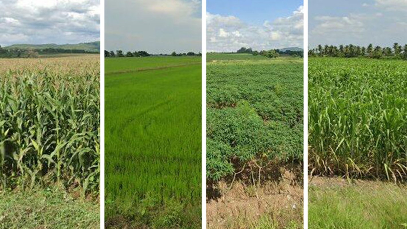
Using about 81,000 crop-related images pulled from Google Street View, the team was able to map the country's four main crops — rice, cassava, sugarcane, and maize — and determine which one was grown every 10 meters (about 33 feet) across the entire nation.
First, an agronomist labeled 2,000 of the images by eye. Then, the researchers trained a "convolutional neural network" to identify the remaining photos. The resulting map achieved 93% accuracy, which the researchers say is comparable to on-the-ground assessments, per MIT News.
"It's a longstanding gap in knowledge about what is grown around the world," Sherrie Wang, an assistant professor in MIT's Department of Mechanical Engineering and the Institute for Data, Systems, and Society (IDSS), said in a press release. "The final goal is to understand agricultural outcomes like yield, and how to farm more sustainably."
According to MIT, smallholder farms like those in Thailand are often run by a single family or farmer and support about two-thirds of the world's rural population. They also produce 80% of the world's food.
Keeping up to date on what's being grown around the world is crucial as rising temperatures begin to threaten food supplies. For instance, global food experts predicted that hotter- and drier-than-normal conditions in Southern Africa, Central America, and northern South America from 2023 into the early months of 2024 were likely to affect food security in those regions.
Next, the researchers plan to map India, where they say more than 150 million smallholder farmers operate. Wang indicated that the information could help inform policies about assessing and bolstering yields. This could be especially significant as global temperatures and populations rise.
"India is covered in agriculture, almost wall-to-wall farms, but very small farms, and historically it's been very difficult to create maps of India because there are very sparse ground labels," Wang said for the MIT News report.
The new technique is one of many ways scientists across the world are helping to create food systems that can adapt to the challenges of a warming world.
For instance, one team of scientists has developed a way to create heat-resistant plants. Similarly, researchers in Montreal are looking at what it takes to create "super potatoes'' that are more resilient to disease and extreme weather. In Japan, scientists have discovered that soaking plants in ethanol could help them survive drought.
Join our free newsletter for weekly updates on the coolest innovations improving our lives and saving our planet.


