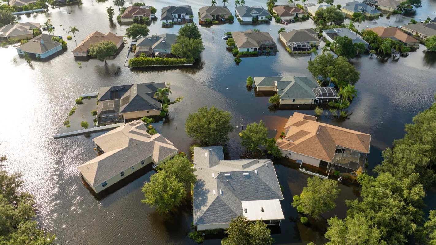
Hurricane forecasts focus on peak water levels, but a Virginia Tech study indicates that coastal impacts also hinge on whether surge drains quickly or remains in place for an extended period.
Across U.S. shorelines, the researchers identified eight repeating surge patterns; some recede soon after peaking, while others keep water elevated for days after the strongest winds subside.
What's happening?
According to Virginia Tech News, as recently spotlighted by Earth.com, researchers used detailed simulations spanning nearly 20 years to test whether storm surges tend to repeat in recognizable ways. The results, published in Coastal Engineering, suggest they do.
The analysis covered 62 named storms that reached U.S. coasts from 2003 through 2022, from which they isolated more than 1,000 separate surge events. Instead of organizing those storms by category, the team used k-means clustering to observe the way water levels rose and fell. That process uncovered the eight surge "signatures."
"The timing and duration of storm surge are just as critical as its height when it comes to coastal destruction," said Jennifer Irish, professor of civil and environmental engineering, according to Virginia Tech News. "A surge that lingers for days causes severe, prolonged erosion on barrier islands and keeps critical evacuation routes submerged long after a storm passes."
According to the study, the Gulf Coast produced the greatest variety of surge patterns, while Atlantic Coast behavior changed more depending on where a storm came ashore.
TCD Picks » Quince Spotlight
💡These best-sellers from Quince deliver affordable, sustainable luxury for all




Why does it matter?
Peak water level alone does not capture the full flood threat. If water sits over a roadway for multiple days, communities can lose evacuation access, emergency crews can be slowed down, and neighborhoods can stay cut off after the storm has passed.
The study also challenges the idea that a storm's category is the main indicator of flooding danger. Factors such as storm size, how fast it moves forward, its direction of travel, the shape of its wind field, and the underwater terrain do more to determine how surge behaves.
In other words, hurricanes with comparable wind speeds can create different flooding timelines.
What's being done?
The researchers say their framework could help engineers and emergency planners better anticipate flooding patterns. In practical terms, that could help communities design roads, evacuation routes, and coastal protections around conditions they are likely to experience.
It could also give officials a better sense of how long communities may remain cut off, helping with prestocking supplies, planning shelter needs, and restoring transportation access.
"As climate change contributes to rising sea levels and more intense tropical cyclones, understanding how storm surge evolves is more important than ever," said Robert Weiss, professor of geosciences, according to Virginia Tech News.
"This framework could improve flood prediction and support better planning and decision making to make coastal communities more resilient."

Get TCD's free newsletters for easy tips, smart advice, and a chance to earn $5,000 toward home upgrades. To see more stories like this one, change your Google preferences here.