A new study warns hurricanes will likely get stronger and more common in the Atlantic and East Pacific Oceans, putting coastal towns from Florida to Mexico at greater risk, the study's researchers said via Phys.org.
What's happening?
University of Reading scientists said they have managed to take a potentially game-changing step in determining ways to predict hurricanes up to 10 years ahead of time.
Their findings are concerning if their modeling is accurate, too. The researchers, using software from the U.K. Met Office, said their projections indicate that the rates of tropical cyclones — hurricanes and tropical storms that are below hurricane levels of strength — are likely to double from their 1970s levels. They also projected significant increases of such storms in the East Pacific through 2030, though at a less dramatic spike, increasing by roughly a third.
These storms' punch — how many form, how strong they get, and how long they last — is separately projected to pack twice the power it did in the 1970s for the North Atlantic region, they said.
"Our study shows hurricane activity is set to increase through 2030, giving everyone more time to prepare and protect themselves," Paul-Arthur Monerie, who led the research at Reading's National Centre for Atmospheric Science, said.
Why are increasing hurricanes concerning?
The expected rise in hurricane activity stems from two main factors, the researchers said: warming ocean surfaces providing more energy for storms and changing wind patterns creating better conditions for hurricanes to develop.
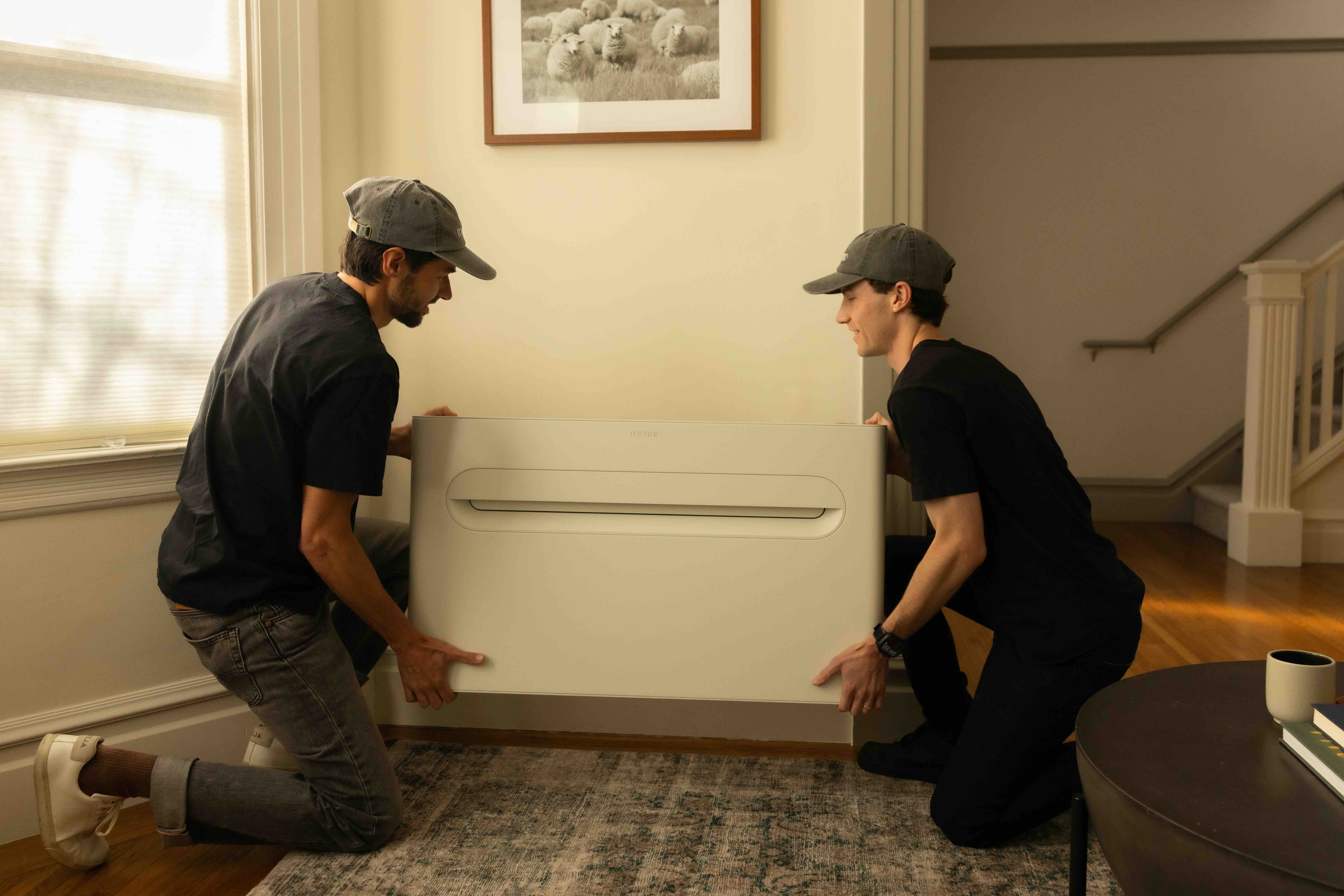
Get cost-effective air conditioning in less than an hour without expensive electrical work The Merino Mono is a heating and cooling system designed for the rooms traditional HVAC can't reach. The streamlined design eliminates clunky outdoor units, installs in under an hour, and plugs into a standard 120V outlet — no expensive electrical upgrades required. And while a traditional “mini-split” system can get pricey fast, the Merino Mono comes with a flat-rate price — with hardware and professional installation included. |
For people living along coastal areas throughout North and Central America, this means a growing threat to homes, infrastructure, and safety in the coming years.
This storm-tracking prediction model marks the first time this type of science "has been successfully applied to predict hurricane patterns up to a decade ahead" instead of just looking at indirect signs such as ocean temperatures, the researchers said.
"Until now, hurricane predictions have been like trying to see through a dense fog, as we could only make out what was directly ahead of us," Monerie said. "Better forecasting clears that fog away, revealing patterns years into the future. This advancement gives coastal communities precious time to prepare."
What can I do about hurricane threats?
As Monerie said, this breakthrough in forecasting gives communities years to prepare for what's ahead — a considerable improvement over shorter-term warnings.
|
Do you think your house could withstand a hurricane? Click your choice to see results and speak your mind. |
While recent increases have already been happening and the wakeup call may already have reached most areas, it's better to expect more big storms than continue to be surprised by them — as much as the better news would be that there is a light at the end of the tunnel and hurricane rates will subside.
Communities can use this extended forecast window to strengthen buildings, update evacuation plans, and improve storm drainage.
If you're building new, you can prepare your home by installing storm shutters, reinforcing your roof, or creating a raised foundation.
Keep emergency supplies ready, including water, nonperishable food, and backup power sources.
Plant native trees and shrubs around your property to help absorb floodwaters and reduce soil erosion during storms.
Support local infrastructure improvements such as sea walls, drainage systems, and natural buffer zones that protect coastal areas during extreme weather.
Join our free newsletter for good news and useful tips, and don't miss this cool list of easy ways to help yourself while helping the planet.


