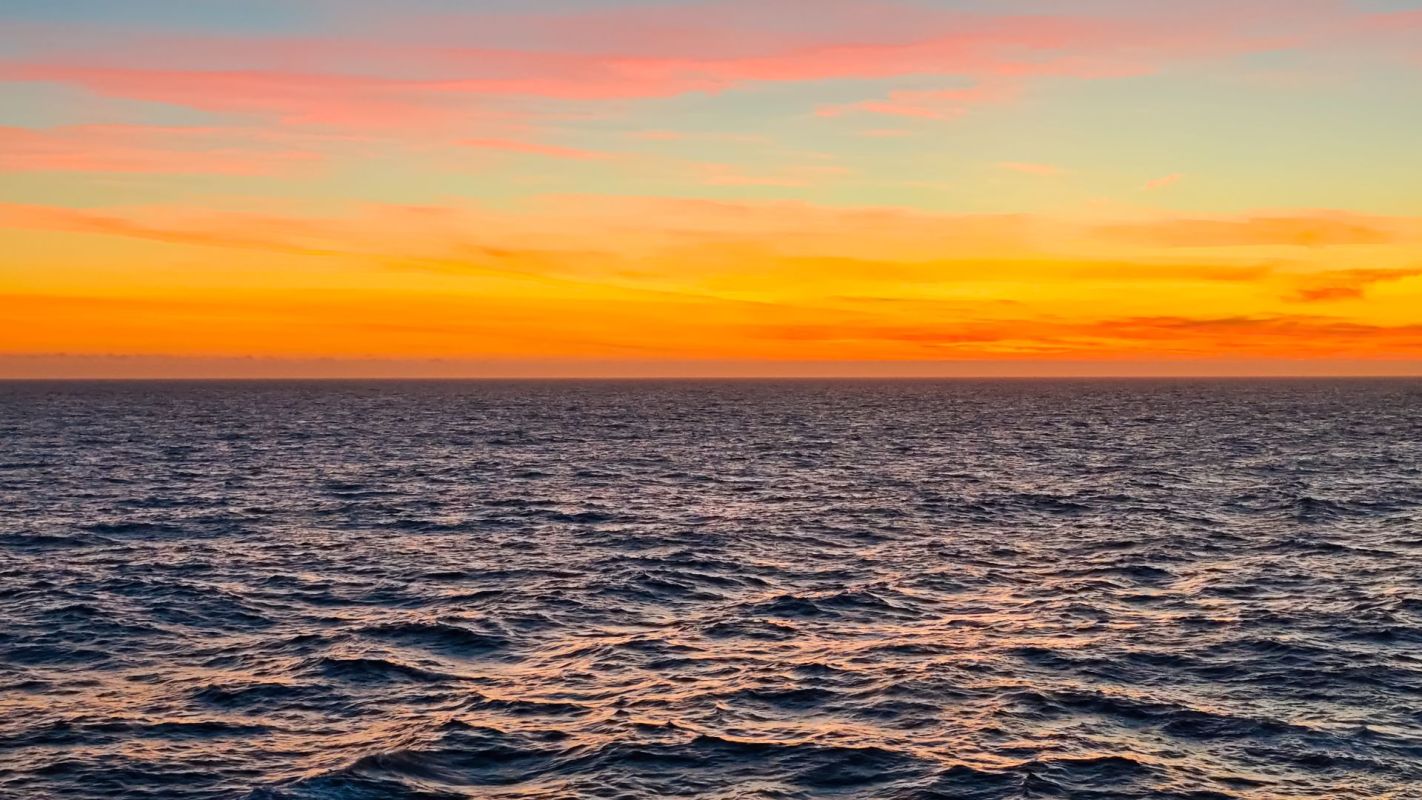
An abnormally warm swath of water is spreading across the Pacific, and it now covers about 13.5% of Earth's surface.
Scientists say it could shape storms, heat, flooding, and wildfire risk around the world in the coming months.
What's happening?
According to the Washington Post, the marine heat wave stretches across a huge expanse of the Pacific, from waters near the Philippines to Peru and north toward Hawai'i and California.
In total, its footprint is more than eight times the size of the lower 48 states.
Scientists define marine heat waves as extended episodes of unusually warm ocean water, and they rate them from Category 1 to Category 5 based on their intensity and duration.
This event took shape when two separate warm zones — one in the North Pacific and another linked to a super El Niño developing along the equator — merged into one giant system.
TCD Picks » Quince Spotlight
💡These best-sellers from Quince deliver affordable, sustainable luxury for all




Scientists say the effects may already be emerging.
A weather pattern exacerbated by the marine heat wave could help build a major heat dome over the western U.S., prompting Defense Department meteorologist Eric Webb to warn in a social media post that this could "greatly increase heat/wildfire risks north of New Mexico and Arizona."
In the western Pacific, exceptionally warm waters have also helped to fuel Typhoon Bavi.
For Dillon Amaya, the warning is simple. "Months and months of warmth could mean stark impacts this winter and next spring," the climate scientist told the Washington Post.
Why is this concerning?
When ocean water stays unusually warm, it can feed extra heat and moisture into the atmosphere, strengthening weather far from where the warming began. In the Pacific, that can affect storms, rainfall, and extreme heat across land areas on multiple continents.
California could be one of the most visible examples. Climate scientist Daniel Swain said in a recent livestream, cited by the Post, that Pacific warmth may lift area sea levels by roughly 6 inches to 2 feet, with storms later this year potentially adding another 2 to 3 feet or more along the coast.
But the effects may extend well beyond the West Coast. Scientists say the added Pacific warmth could intensify the subtropical jet stream this fall and winter, creating a stormier path across the southern and eastern U.S. as well.
And as scientist Kevin Trenberth told the newspaper, "Water vapor amounts go hand in hand with sea surface temperatures, mostly."
What's being done?
Researchers are closely tracking the Pacific heat wave, the growing El Niño pattern, and a related climate signal known as the Pacific Meridional Mode, which helped create the conditions for this event. That monitoring can give communities earlier warnings about flood risks, dangerous heat, wildfire conditions, and coastal impacts.
Officials in vulnerable areas may need to prepare for higher tides, stronger storm surges, and more disruptive winter weather. Practical steps include signing up for local emergency alerts, reviewing evacuation routes, updating flood and wildfire plans, and preparing homes for heat and smoke.
Marine heat waves now affect more than three times the share of the global ocean as they did in the late 1980s, according to the Post, rising from about 9% to above 30%. Over the same period, the area covered by stronger marine heat waves has expanded by nearly six times.
Ultimately, climate scientists generally agree that in order to address rising global temperatures and warming ocean waters, a meaningful transition from fossil fuels to cleaner, more renewable energy sources will be needed.

Get TCD's free newsletters for easy tips, smart advice, and a chance to earn $5,000 toward home upgrades. To see more stories like this one, change your Google preferences here.