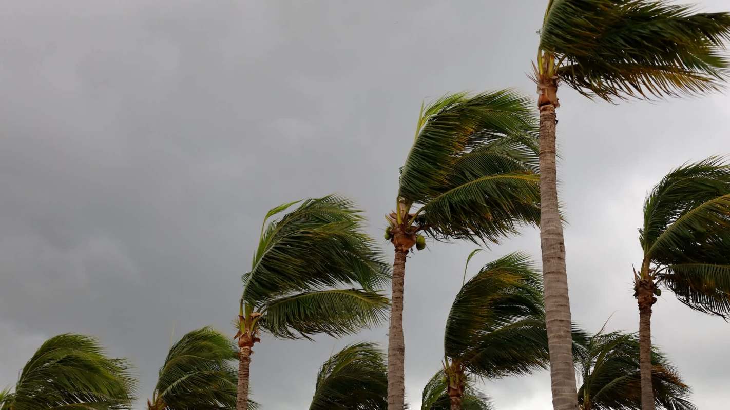
Hurricane Genevieve hit a rare and dangerous milestone early Monday, strengthening into a Category 5 storm off Mexico's Pacific coast.
Even without a forecast landfall, the storm is a stark reminder that warmer ocean waters can supercharge hurricanes and extend risks far beyond a storm's center.
What happened?
By Monday, Genevieve had become the East Pacific's first Category 5 hurricane in two years. ABC News reported that it had sustained winds of 160 mph while sitting about 530 miles southwest of Manzanillo, Mexico, and moving northwest at 13 mph.
Forecasts kept the hurricane well offshore, with its track expected to run generally alongside Mexico's Pacific coast rather than push inland. As of Monday, no coastal alerts had been issued.
Although forecasters were not expecting landfall, the National Hurricane Center said Genevieve was sending dangerous surf and rip currents toward parts of Mexico's southwestern coast and the Baja California Peninsula. The storm was expected to begin weakening Tuesday.
Farther northwest, Hurricane Fausto had weakened to a Category 1 hurricane while continuing on a general path toward Hawaii. Even as it was expected to weaken into a tropical storm, forecasters said it could still generate notable surf for parts of the islands.
TCD Picks » Quince Spotlight
💡These best-sellers from Quince deliver affordable, sustainable luxury for all




Why does it matter?
A hurricane does not need to make landfall to put people in danger. Powerful swells, high surf, and rip currents can turn beaches deadly, disrupt fishing and tourism, and threaten coastal infrastructure hundreds of miles from a storm's eye.
Hotter ocean waters can give hurricanes more energy, helping them intensify quickly and reach stronger wind speeds — a pattern reflected in Genevieve's sudden strengthening. That means a storm forecast to stay offshore can still be tied to more destructive weather risks.
The East Pacific and central Pacific are especially important to watch because storms in those basins can affect Mexico, shipping routes, and island communities such as Hawaii. Even a weakening storm can still bring hazardous ocean conditions that spread outward for days.
What's being done?
Meteorologists are closely tracking both Genevieve and Fausto to monitor changes in strength and direction. That early warning system gives coastal communities and travelers more time to prepare, even when a storm is not expected to strike land directly.
Better forecasting and preparedness do not stop storms, but they can save lives and reduce economic losses.
The trend behind stronger storms points back to rising global temperatures and unusually warm seas.
Genevieve may remain out at sea, but its sudden rise to Category 5 shows how quickly conditions can escalate.

Get TCD's free newsletters for easy tips, smart advice, and a chance to earn $5,000 toward home upgrades. To see more stories like this one, change your Google preferences here.