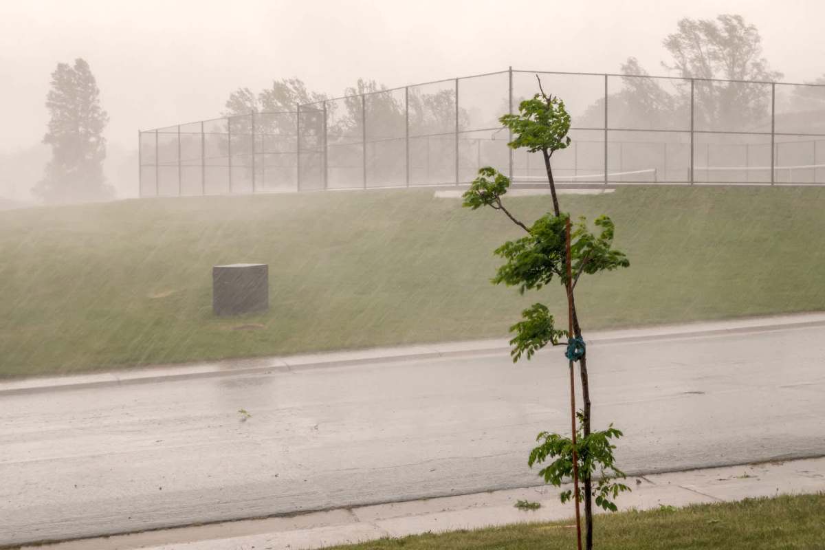
Flood risk in the eastern United States could be shifting in a concerning way, making severe rainfall harder to handle. A new study indicates that while extreme rain events in the region may be happening less often, the ones that do occur are spreading across larger areas.
Here's what to know
Phys.org reported on a Geophysical Research Letters study from Columbia Climate School's Lamont-Doherty Earth Observatory that found a shift in the eastern half of the country toward extreme rain events that are less frequent but broader in reach.
Since 1980, the most catastrophic precipitation events have been tied to more than 2,800 deaths and $700 billion in damage.
One puzzle in the East is that many weather stations are recording more days with extreme rainfall, even as the number of separate extreme events may be decreasing. To examine that, the researchers looked at how much land each storm affected on the same day, rather than relying solely on rainfall totals at individual stations.
Their results suggest that smaller, more localized extreme storms are becoming less common in the East, while larger events are becoming more common and striking more places at once.
More background
The size of a storm's footprint can have a major effect on the damage it causes. When an event is confined to a small area, flooding may stay local, but when extreme rain spreads across a wide region, emergency responders can be stretched across multiple communities and runoff can swell rivers and creeks far downstream from the original downpour.
TCD Picks » Quince Spotlight
💡These best-sellers from Quince deliver affordable, sustainable luxury for all




Hurricane Ida in 2021 was a real-world example of how a large-area extreme rainfall event can wreak havoc across multiple states at once.
Nationwide, extreme rain events with smaller geographic footprints have become less common. In the West, that pattern appears to explain most of the change, but in the East, the drop in smaller storms coincides with an increase in large-area extreme rainfall events.
That shift could create new challenges for infrastructure built around older rainfall patterns. Storm drains, culverts, retention basins, and flood-control systems may face greater pressure when large parts of a watershed are hit simultaneously.
Post-disaster recovery could also put more pressure on both people's livelihoods and the economy, as insurers and recovery systems handle numerous claims arriving simultaneously from multiple communities.
What can be done?
Stormwater and flood planning standards may need to account not just for how intense major rain events are, but for how much territory they cover.
Emergency managers and local officials can also use this kind of research to improve flood mapping, evacuation planning, and coordination across neighboring jurisdictions. When one storm affects multiple counties or states at once, regional preparation becomes far more important.
Even people outside traditional flood zones can be affected when extreme rain overwhelms drainage systems or pushes rivers beyond their banks.
As scientists continue conducting crucial research into why rainfall patterns are changing, new findings suggest that where storms hit matters just as much as how hard they fall.
In the eastern U.S., extreme rain is becoming not just a matter of intensity, but also one of scale. And when more communities are struck at once, the damage can extend far beyond a single town or county.

Get TCD's free newsletters for easy tips, smart advice, and a chance to earn $5,000 toward home upgrades. To see more stories like this one, change your Google preferences here.