As a battered Cuba suffers from a near-total blackout caused by Hurricane Ian, Floridians are preparing as the storm intensifies and approaches landfall.
Hurricane Ian slammed Cuba as a Category 3 storm, meaning its wind speeds registered between 111 and 129 miles per hour.
As Ian traveled north, it strengthened into a Category 4 storm, with roaring winds registering at 155 mph, just 2 mph below that of a catastrophic Category 5.
#ian now at 155mph trying it's best to become a cat5! This will be one of the strongest hurricanes in southwest Florida history. pic.twitter.com/GCcDW29Mmh
— Jim Cantore (@JimCantore) September 28, 2022
Current projections
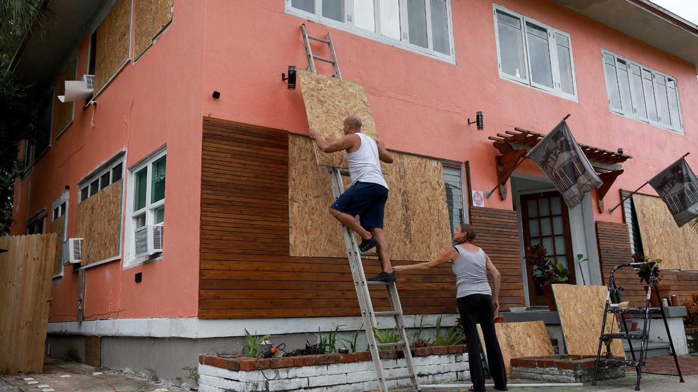
This morning, Governor Ron DeSantis declared a state of emergency in the state, warning Floridians to brace for impact.
"It is going to have major, major impacts in terms of wind, in terms of rain, in terms of flooding," DeSantis said during a Wednesday briefing. "So this is going to be a nasty, nasty day, two days."
As of 10 a.m. EST on Wednesday, Ian is barreling toward the west coast of Florida. The storm will soon make landfall near Port Charlotte, a community within 100 miles of both Naples and Tampa. The area, as well as the state more broadly, is expected to experience intense flooding, rain, wind, and potentially tornadoes.
TCD Picks » EDF Spotlight
💡EDF's Vital Signs newsletter delivers stories about game-changing solutions close to home and around the world


The nearby Bonita Beach is likely to see some of the worst levels of storm surge in the state, with current projections between 12 and 18 feet.
I'm not sure how many truly grasp what just happened tonight with Hurricane #Ian. It went through a full eyewall replacement cycle, hardly blinked, grew by 50% (as measured by its RMW), and delivered the 3rd highest storm surge since 1913 to Key West in the process. Just wow. pic.twitter.com/UmbuA8gJ7v
— Michael Lowry (@MichaelRLowry) September 28, 2022
Already, over 140,000 Floridian homes and buildings have lost power, and many more are likely to follow. Hurricane Ian is projected to move northeast across Central Florida throughout the night and reach the Atlantic Ocean later during the afternoon on Thursday.
Follow The Cool Down on Instagram and TikTok.