What matters in a wildfire is not only how it starts but how quickly anyone notices. Because a small ignition can turn disastrous in minutes, newer satellite and camera tools are being built to catch trouble much earlier than previous systems.
The effort is gaining traction across the western United States, where heat and dryness have heightened the threat of wildfire and made fires harder to control, according to The Guardian.
Here's what to know
July brought a key step for this approach: the first three FireSat satellites were launched aboard a SpaceX rocket.
Those spacecraft are the opening segment of a planned 50-satellite system intended to detect wildfires before they become harder to manage.
Older weather and Earth-monitoring satellites tend to do better once a blaze is already substantial. FireSat is being built to identify fires as small as a beach bonfire and, once the full network is operating, to pass over every location on Earth about once every 20 minutes.
To do that, the system combines infrared imaging with AI.
TCD Picks » Quince Spotlight
💡These best-sellers from Quince deliver affordable, sustainable luxury for all




Fresh images are compared with earlier ones, with weather conditions and nearby heat sources factored in, before emergency responders are notified.
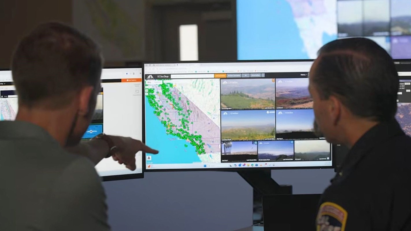
FireSat is also expected to complement ground-based camera systems, including Pano AI's camera network, creating overlapping warnings that could help firefighters move faster.
More background
These tools are emerging as fire conditions intensify across much of the American West.
Higher temperatures, persistent drought, and repeated periods of hot, dry, windy weather have made fast-moving fires more likely and more difficult to contain.
Compared with the 1970s, parts of the western United States now endure roughly two extra months of fire weather each year, according to Climate Central.
Catching a blaze right after it starts can mean stopping it before it threatens a much larger area.
Still, the technology is not a cure-all.
FireSat's full constellation has not yet been deployed, and even AI-based systems are built with safeguards to reduce false alarms rather than replace human judgment altogether.
What's being done?
Companies and emergency agencies are trying to connect these warnings into a broader detection network.
One example is Pano AI, which The Guardian noted operates more than 1,400 cameras in 17 states, mounted on towers and mountaintops that watch over wide landscapes.
Arvind Satyam, co-founder of the San Francisco startup Pano AI, described one of the setups.
"There are two Pano AI cameras. They're sitting on top of that cell tower," he said of the devices, which look for smoke during the day and heat at night.
Before any alert reaches fire agencies, a human reviewer checks imagery that the system has flagged as a possible fire, a step meant to reduce false positives.
"The AI algorithms are being run continuously on that imagery to say 'smoke, not smoke.' At night-time, we're looking at heat signatures, so heat versus cold. And then we're able to zoom in and validate that it is a potential fire start," Satyam explained.

Get TCD's free newsletters for easy tips, smart advice, and a chance to earn $5,000 toward home upgrades. To see more stories like this one, change your Google preferences here.