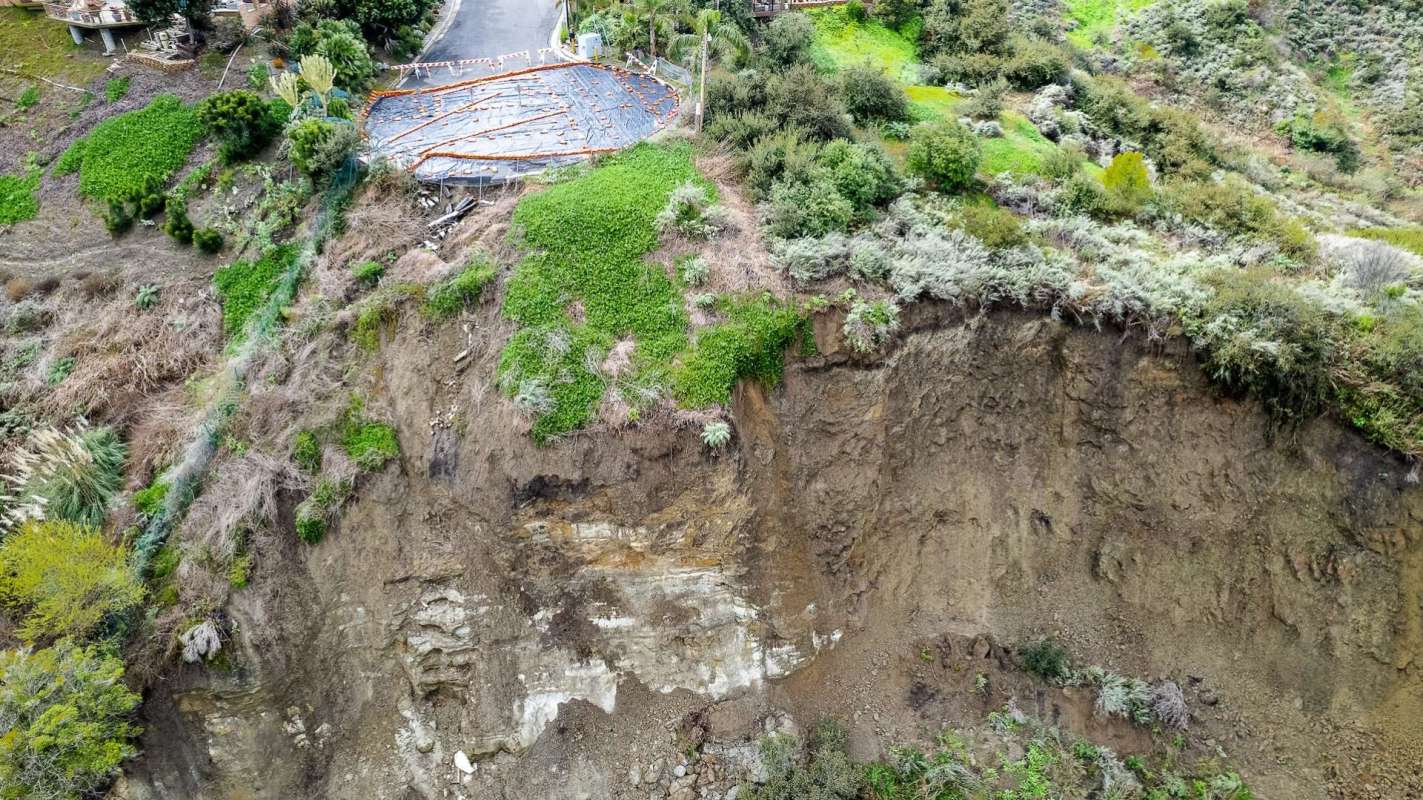
A new nationwide map is giving Americans a clearer picture of a danger that often goes unnoticed until disaster strikes.
Researchers revealed in a press release how they found that 6.5 million people in the U.S. live in homes on or next to slopes vulnerable to landslides, with Appalachia standing out as the most affected region.
What's happening?
In a study published in Earth's Future, researchers from the University of Washington matched landslide-hazard terrain with homes and population estimates to show where exposure is concentrated.
Their analysis used USGS hazard maps, building footprints from across the country, and estimates of how many people are inside those structures at night to calculate who could be indoors if a slide occurs.
"We have never considered the human geography of landslides; this is really the first attempt to do that," Joseph Wartman, a study co-author, said in the release.
While the steepest landscapes are largely in the West, the study found that most people exposed to landslides live farther east because population density is much higher there.
TCD Picks » Quince Spotlight
💡These best-sellers from Quince deliver affordable, sustainable luxury for all




The release noted that sparse populations in the Rocky Mountains, Alaska, and Hawaii mean those places account for just 4% of exposed residents. Meanwhile, interior states often seen as relatively flat, such as Nebraska, Minnesota, and Illinois, still total more than 700,000 people living with landslide exposure.
Why does it matter?
The hazard is easy to discount partly because landslides often affect only a very small area, unlike disasters such as hurricanes or wildfires.
"The susceptibility at one location can be vastly different than the susceptibility at a neighboring location just 10, 20 or 30 meters (33, 66 or 98 feet) away," Wartman explained in the release.
The team relied on nighttime occupancy estimates because people are less able to react and move to safety during overnight hours.
Risk is not just about where people live, as Ben Mirus, a USGS research geologist not involved in the study, noted.
"Technically, a landslide is not insurable, so if you lose your home in a minor landslide event, that's going to be a personal expense and a catastrophic loss for the homeowner," Mirus declared in the release.
Rural residents account for 62% of the people living in landslide-prone areas, and many have fewer resources to recover.
That challenge is especially sharp in Appalachia, where lower-income households can be pushed toward riskier ground because flatter land is more expensive.
What's being done?
The map gives residents and local governments a way to identify landslide hot spots at the regional, state, and county levels, which could improve emergency planning and help direct help where it is most needed.
By combining the mapping with U.S. Census Bureau demographic and economic information, the researchers also identified communities that may face the greatest recovery challenges.
The study argues that responses should differ from one place to another. In rural Appalachia, that could mean more public investment in warning systems and disaster support.
In affluent hillside cities such as Seattle and San Francisco, the authors instead call for stricter limits on building in landslide-prone areas and for more recovery costs to fall on homeowners who are better able to pay them.
"We have found that this urban-rural divide plays out across the entire United States," Wartman noted in the release.

Get TCD's free newsletters for easy tips, smart advice, and a chance to earn $5,000 toward home upgrades. To see more stories like this one, change your Google preferences here.