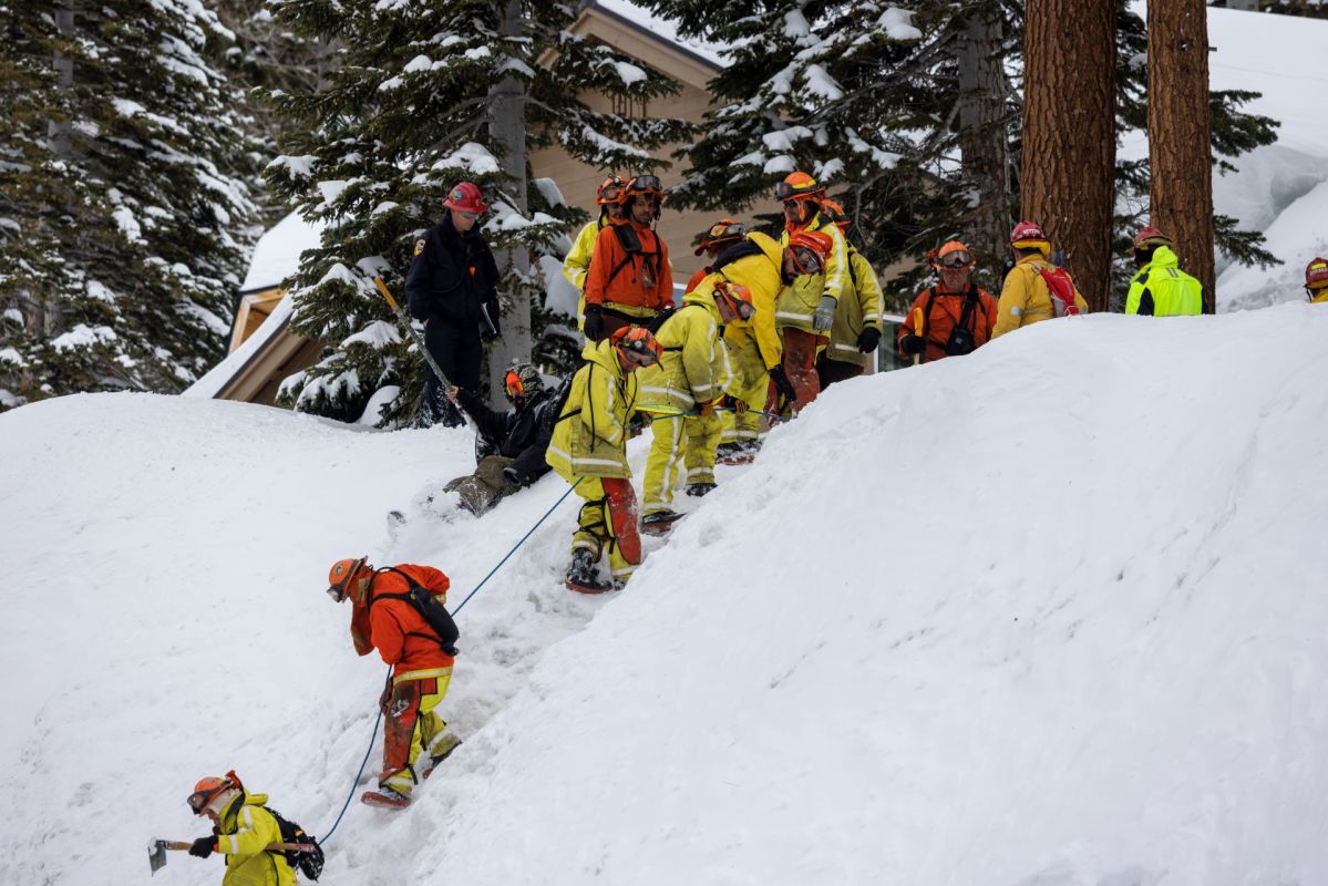
Once-dry Lake Tulare in California is reemerging for the first time in decades as snowmelt from the Sierra Nevada has overwhelmed waterways, according to reporting by The Conversation. This area and others across the western U.S. are at risk of flooding and mudslide disasters, according to the report.
What is happening?
The year's heat waves led to the melting of California's snowpacks, leading to communities in the Central Valley to brace for the impact of flooding.
In three weeks from December 2022 to January 2023, California saw at least nine atmospheric rivers — known as rivers in the sky — make landfall, where five were categorized as of a strong magnitude, according to The Conversation.
The Conversation reported that the atmospheric rivers have resulted in above average snow levels in California, Oregon, Nevada, Utah, Idaho, and the mountains of western Colorado, Arizona, and New Mexico.
Southern Sierra Nevada is the most affected region this year, according to the reporting, with "snow water" at 296% of normal. Northern Sierra snow water content is at 197% of normal. The central region is 238% of normal.
"In the southern Sierra right now, the snowpack upstream of certain reservoirs is enough to fill those reservoirs multiple times over — that's a big deal," said Daniel Swain, a UCLA climate scientist, reported The Washington Post.
TCD Picks » EDF Spotlight
💡EDF's Vital Signs newsletter delivers stories about game-changing solutions close to home and around the world


Why is this concerning?
Scientists told The Conversation that the precipitation is comparable to the storms of 1983, when the average snow water content in California was 60.3 inches in May. It led to flooding, mudslides, and extensive crop damage.
This year, some parts of Southern Sierra Nevada have already passed 1983's levels.
The Tulare Lake basin and the San Joaquin River basin were at the top risk of flooding, though it has reduced somewhat recently, according to the Los Angeles Times. The state's Department of Water Resources has warned residents in the area to plan evacuation routes and prepare for emergency response.
The Conversation noted that the San Joaquin River basin was 289% of its median level in the past 40 years.
Even though California relies on these storms for half its water supply, too many of them can have harmful impacts. With increasingly warmer temperatures, atmospheric rivers can result in more extreme storms that can lead to more flooding.
What is being done?
The joint state-federal Flood Operations Center is preparing for high river levels in those regions by arranging for sandbags and plastic barriers known as muscle walls to help block water. It has also deployed engineers to assist with flood threat assessments and levee repairs.
"There's a lot of snow up there, but there is a coordinated and very active group working and looking at the situation and exercising as many options as possible to maximize benefit and mitigate that hazard," Mike Anderson, state climatologist with the state Department of Water Resources, told the Los Angeles Times.

Join our free newsletter for cool news and cool tips that make it easy to help yourself while helping the planet.