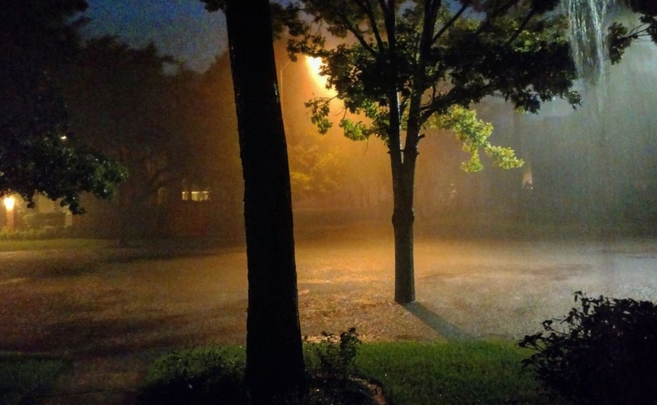
Moisture from Hurricane Polo is pushing inland and setting up a flood threat for West Texas and Southern New Mexico, where storms have left the ground too saturated to handle much more rain.
Residents in the El Paso-Las Cruces area could deal with water-covered streets and dangerous travel as several rounds of rain move through.
Here's what to know
A flood watch is in effect for that metro area and Southern New Mexico from noon Monday through 6 a.m. Wednesday, according to the El Paso Times.
The National Weather Service warned that showers and isolated thunderstorms could spark flash flooding after heavy rains last week.
Most places are expected to get 1.5 to 2.5 inches of rain, while a few spots could get 3 to 4 inches. The greatest flooding concern is north of Interstate 10.
Hurricane Polo was expected to weaken after making landfall along Mexico's Pacific coast, but the storm's moisture could still produce dangerous downpours far from the shoreline.
TCD Picks » Quince Spotlight
💡These best-sellers from Quince deliver affordable, sustainable luxury for all




Polo could bring dangerous flash flooding to Sinaloa, Sonora, and Chihuahua in Mexico, while the National Hurricane Center said Polo may drop 4 to 8 inches of rain across Baja California Sur, with maximum amounts of 10 inches, the El Paso Times noted, citing Reuters.
More background
Flash flooding develops quickly, including in urban areas and places with poor drainage. When the ground is already saturated, additional rainfall is less likely to soak in and more likely to run off into streets, washes, and low-lying neighborhoods.
Families may face water entering homes, dangerous commutes, school and work disruptions, and costly property damage. Moving water can make roads impassable and put drivers at serious risk.
Worsening extreme weather disasters damage homes, shut down businesses, disrupt transportation, and increase health risks. Repeated storms can strain both local budgets and household finances as communities pay for repairs, cleanup, and lost work time.
What can be done?
Stay alert for forecast updates and warnings from the National Weather Service. People in vulnerable areas should be ready to act quickly if water rises.
Ahead of expected flooding, clear drains; charge phones and backup batteries; and make a plan for pets, medications, and essential documents. When there is water on a road, avoid driving through it. People in low-lying areas or near arroyos may want to prepare to move to higher ground.
Timely alerts and road closures can reduce injuries and help emergency crews respond more quickly. Infrastructure that improves drainage and reduces runoff can limit damage when repeated heavy rains hit already saturated ground.
Where can I learn more?
Tropical systems have repeatedly pushed flood risks far inland across the Southwest.
• Localized flooding spread as Hurricane Priscilla weakened.
• In Texas, a disturbance over Mexico fueled deadly flooding during 2025 storms.
• Forecasters have previously warned residents that hurricane season could bring flooding away from shore.

Get TCD's free newsletters for easy tips, smart advice, and a chance to earn $5,000 toward home upgrades. To see more stories like this one, change your Google preferences here.