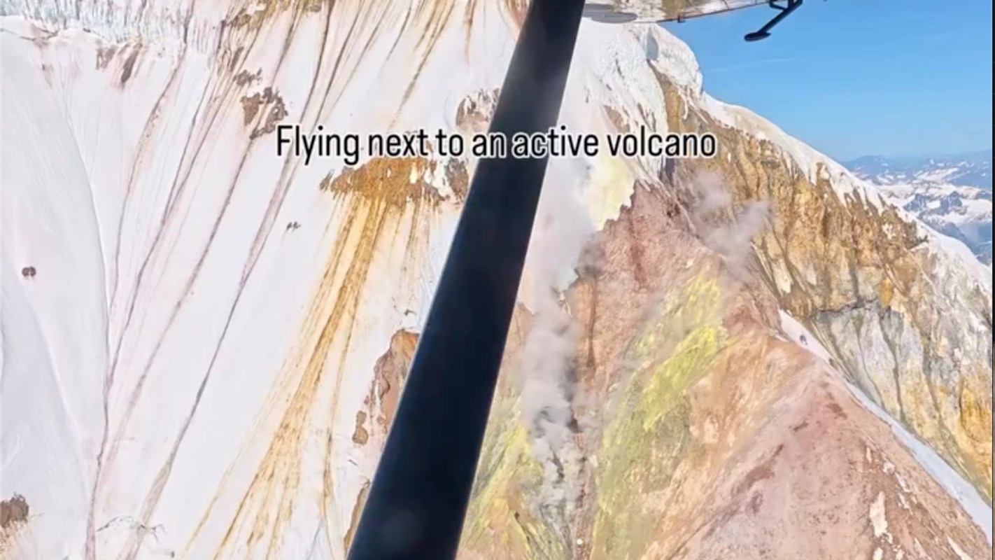
An aerial video can do what a flat, static map can't manage: make Alaska feel almost too big to process.
What happened?
In a short video shared on Instagram, outdoor photographer Nick (@nick_in_alaska) shared footage of a small plane passing alongside an Alaska volcano.
The tiny shadow of the plane moving across the vast mountain helps explain why the state's mind-boggling landscape can be so hard to grasp.
Why does it matter?
On a screen, a volcano can seem flattened and distant. From the side of a plane, it becomes massive, tangible, and alive in a completely different way.
Alaska's volcanic regions are not just scenic — they are part of dynamic geologic systems that can shape habitats, weather risks, and even transportation.
Volcanic activity in Alaska can affect air travel when ash enters the atmosphere, and the remoteness of these areas means safety, planning, and environmental care can matter a great deal.
TCD Picks » Quince Spotlight
💡These best-sellers from Quince deliver affordable, sustainable luxury for all




What's being done?
Scientists already keep close watch on Alaska's volcanic activity, monitoring unrest, eruptions, and ash hazards to help pilots, communities, and travelers make safer decisions.
Public land managers and tourism operators also play a role in safety management, giving visitors structured ways to experience dramatic terrain without treating it casually. In a place as large and rugged as Alaska, access and safety often depend on strong local knowledge.
The photographer captured that feeling in one line: "The most unforgettable flight. Flying a close pass beside a volcano gives you a better perception of the scale of Alaska..."

Get TCD's free newsletters for easy tips, smart advice, and a chance to earn $5,000 toward home upgrades. To see more stories like this one, change your Google preferences here.