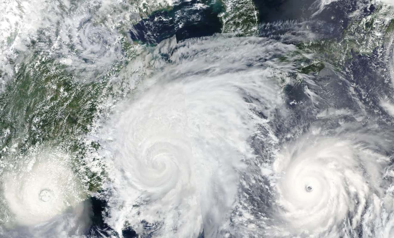
Despite three areas of tropical interest in the Atlantic, forecasters are not expecting any of them to move into the Gulf of Mexico.
The system getting the most attention is still far from land and, of the three, has the best chance of organizing into a tropical depression, according to the Houston Chronicle.
What's happening?
The National Hurricane Center is closely watching three separate zones of unsettled weather across the Atlantic basin.
The most notable one is a low-pressure area located several hundred miles south of the Cabo Verde Islands near West Africa, where thunderstorms were still loosely organized.
According to the Houston Chronicle, that disturbance had a 20% chance of development over 48 hours and a 60% chance over seven days. Forecasters said it was likely to drift slowly westward and could eventually merge with a tropical wave emerging from West Africa.
The other two disturbances were considered less likely to strengthen.
TCD Picks » Quince Spotlight
💡These best-sellers from Quince deliver affordable, sustainable luxury for all




One, positioned in the central tropical Atlantic between West Africa and the Lesser Antilles, had a 10% chance of development.
The other, in the western Atlantic northwest of Bermuda, was generating thunderstorms but was expected to reach cooler water, which would reduce the likelihood of tropical cyclone formation.
None of the three systems appears likely to pose a Gulf threat.
Why does it matter?
Early Atlantic storms can shift quickly, especially when they spend several days over warm ocean water.
A storm that forms near Cabo Verde has a long path across the Atlantic, giving it more time and space to organize if atmospheric conditions become favorable.
A strong El Niño was expected to keep the Atlantic hurricane season on the quieter side by boosting wind shear, a condition that can tear apart weaker systems before they strengthen.
That pattern also helped keep the season's first named storms, Arthur and Bertha, on the weaker side even after landfall along the Gulf Coast.
What can I do?
The most important step is to prepare before a storm is ever named.
Forecasts can change, and systems that appear weak at first can still strengthen over time. Monitoring updates from the National Hurricane Center and checking local weather alerts can help residents avoid being caught off guard.
People living in hurricane-prone areas can also use quieter stretches of the season to restock emergency kits, review evacuation routes, and make sure important documents are easy to access.
Charging backup batteries, refilling medications, and reviewing flood insurance details can also help reduce stress if a storm later changes direction.
In the case of the central Atlantic system, forecasters warned that "upper-level winds are expected to become less favorable for development" as it moves closer to the Lesser Antilles.
"Environmental conditions are forecast to be more conducive for development," forecasters explained, adding that the leading disturbance could continue moving "westward to west-northwestward across the central tropical Atlantic."

Get TCD's free newsletters for easy tips, smart advice, and a chance to earn $5,000 toward home upgrades. To see more stories like this one, change your Google preferences here.