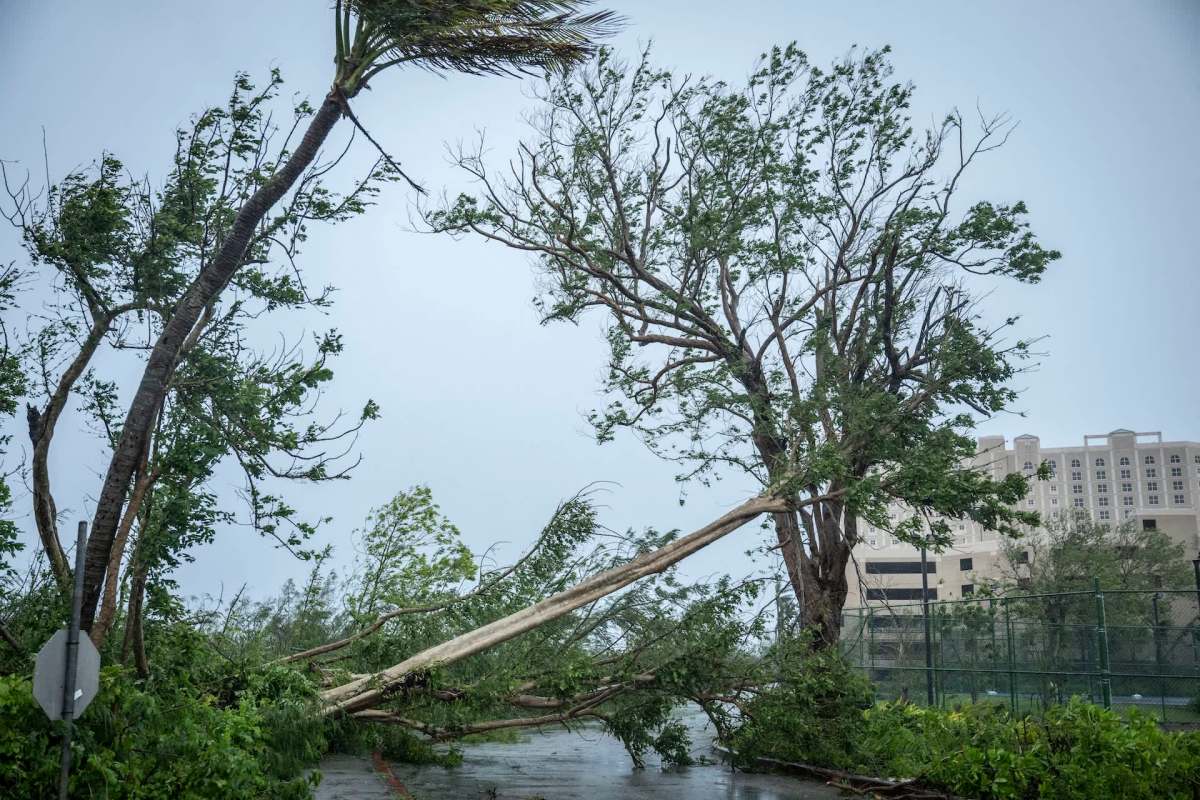
On Monday, Super Typhoon Bavi moved over Rota in the Northern Mariana Islands, putting the U.S. commonwealth island inside the center of one of the world's most powerful storms.
A Category 5 eye making direct contact with U.S. soil is an exceptionally uncommon event.
What happened?
Bavi's eye crossed directly over Rota in what was only the sixth recorded case of a Category 5-strength tropical cyclone's eye reaching U.S. soil.
The island, which is home to about 1,900 people, stayed in the eyewall for more than an hour.
According to The Washington Post, the storm strengthened at an unusual speed, going from a tropical storm to a Category 5-equivalent cyclone in just over 24 hours.
It weakened briefly during an eyewall replacement cycle and then regained strength as it approached Rota, the Post reported.
TCD Picks » Quince Spotlight
💡These best-sellers from Quince deliver affordable, sustainable luxury for all




Measurements from nearby islands underscored Bavi's intensity: A 106 mph wind gust on Saipan and a 100 mph gust at Guam International Airport, while conditions on Rota were likely stronger still, with gusts possibly topping 140 to 150 mph.
Before conditions knocked it offline, Doppler radar at the National Weather Service office in Tiyan, Guam, showed Rota inside Bavi's eye.
Bavi also produced Guam's first documented tornado.
Why does it matter?
To warn residents, the National Weather Service issued an "extreme wind warning," a rarely used alert for the arrival of the eyewall of a Category 3 or stronger storm.
Storms like this can cut power, damage hospitals and schools, destroy homes and businesses, contaminate water supplies, and render roads impassable.
Bavi's rapid intensification gave communities less time to prepare. Very warm ocean water can help fuel that kind of explosive growth, complicating emergency planning for islands and coastal areas in a storm's path.
Forecasters expected Bavi to remain a supertyphoon for days, then curve toward Taiwan and eventually head toward China.
What's being done?
As Bavi neared the islands, emergency officials relied on their highest-level warnings. Those alerts are meant to prompt people to seek immediate shelter, much like tornado warnings on the mainland, when catastrophic winds are about to arrive.
Stronger infrastructure, better forecasting, and reliable emergency communication systems are crucial for islands and coastal communities facing increasingly dangerous storms. When radar goes offline and roads flood, preparation before impact becomes even more critical.

Get TCD's free newsletters for easy tips, smart advice, and a chance to earn $5,000 toward home upgrades. To see more stories like this one, change your Google preferences here.