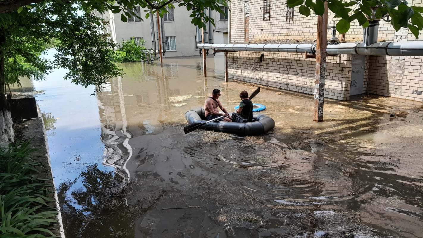
On June 6, 2023, the failure of southern Ukraine's Kakhovka Dam sent water levels about 10 feet above normal and drove thousands of residents to evacuate.
A newly deployed NASA satellite was passing over the region at the same time, giving scientists a rare real-time view of the disaster and revealing weaknesses in widely used flood models.
Here's what to know
A study from Georgia Tech, published in the journal Geophysical Research Letters, found that simulations used for dangerous outburst floods repeatedly understated both how deep the flooding became and how quickly it expanded.
As the study's authors noted in a press release, the research matched observations from NASA's Surface Water and Ocean Topography satellite, or SWOT, with computer simulations of the Kakhovka flood.
That let researchers evaluate flood models during an unfolding large-scale event instead of reconstructing performance only from post-disaster evidence.
When researchers used standard global datasets, the models produced floodwaters across the floodplain that were both shallower and slower than what SWOT measured.
TCD Picks » Quince Spotlight
💡These best-sellers from Quince deliver affordable, sustainable luxury for all




The team then updated the simulations with improved estimates of the reservoir floor and riverbed topography. Those changes helped, but the models still could not correctly capture flood height and flood timing at the same time. That is a concerning development because of their current use.
"Models allow us to understand which communities could be affected by an outburst flood," one of the researchers, Karl Lang, said in the release. "They also help us estimate how long floodwaters will remain on the landscape."
More background
Observing outburst floods from dam or reservoir failures in real time is unusually hard. Scientists generally cannot enter the area until it is safe, and by then much of the evidence showing how the water moved has already been lost.
In the Kakhovka case, SWOT crossed the area multiple times during and after the dam failure, generating daily measurements along the entire flood path.
With two antennas and a method known as interferometry, SWOT measures water elevation to roughly 10 centimeters across rivers, lakes, wetlands, reservoirs, and oceans. That level of detail can help scientists trace how floodwaters move over complex ground.
Lang said lingering inundation can be "just as devastating as the initial event" because it damages infrastructure, disrupts livelihoods, and raises public health risks.
What's being done?
Researchers are using these satellite observations to identify where flood simulations fall short and to improve the tools communities rely on for hazard planning and emergency response.
"Because SWOT gave us a new image every day covering the entire flood path, we could compare the model with real-world conditions across many locations and points in time in ways that previously were only possible in a laboratory," the study's lead author, Karin Lehnigk, said in the release.
The results indicate that improved maps by themselves may not fully resolve the problem. Researchers may also have to reconsider how models simulate the movement of huge, fast-moving floodwaters across complex landscapes.
With flood risks rising worldwide because of aging infrastructure, extreme weather, and other hazards, stronger forecasting tools could help officials build better evacuation plans, identify the most vulnerable areas, and reduce the toll on households and local economies.
Where can I learn more?
The Kakhovka study also connects to a wider push to track water with satellites and improve flood forecasts. NASA data, river research, and earlier warning systems are running into many of the same challenges highlighted in Ukraine.
• NASA's SWOT mission is tracking almost all of Earth's water, sharpening conservation and flood analysis.
• Across vulnerable river basins, scientists are using new satellites to uncover avulsions threatening millions.
• In South Korea, technology to predict fatal flash flooding could extend warnings by an hour.
Better water data only goes so far if forecasts cannot turn it into timely decisions. That helps explain why flood models and warning systems still need work.

Get TCD's free newsletters for easy tips, smart advice, and a chance to earn $5,000 toward home upgrades. To see more stories like this one, change your Google preferences here.