Hawaiʻi has a reputation for escaping the Pacific's most damaging hurricanes. In 2026, though, impacts from both Lala and Lowell have made that oft-cited "force field" seem much less certain.
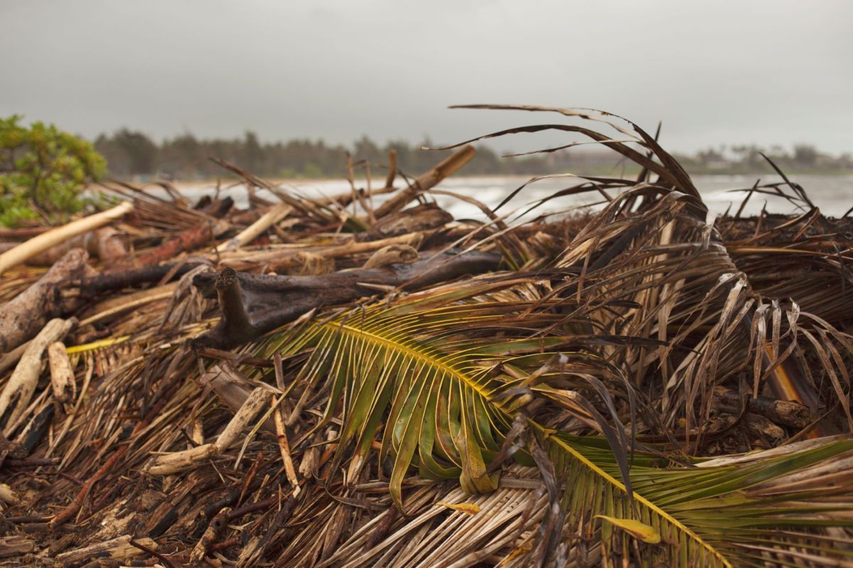
Lowell's near pass by Kaua'i last week damaged roads and piers, sank boats, and knocked down trees and power lines.
Here's what to know
The Guardian pointed out that Lala had brought the first recorded hurricane-force gusts in 155 years to the Big Island and Oʻahu in August.
"An event of this magnitude is somewhat rare," Michael Brennan, director of the National Hurricane Center, said of Lowell, as the newspaper reported.
He noted that Hawaiʻi has gone without a direct hurricane landfall since Iniki in 1992, when winds reached 145 mph on Kauaʻi and about 70% of the island's homes and businesses were damaged or destroyed.
Nicholas Grondin, assistant professor of environmental science at the University of Tampa, said Hawaiʻi is usually protected by its geography. The islands occupy only a tiny patch of the Pacific Ocean, and storms approaching from the east generally have to move across cool water before getting there.
TCD Picks » Quince Spotlight
💡These best-sellers from Quince deliver affordable, sustainable luxury for all




"Without warm oceans to provide fuel, hurricanes tend to weaken and fizzle out as they approach the islands," Grondin said, according to The Guardian.
More background
Those natural advantages may be less dependable as ocean conditions change. El Niño has pushed tropical Pacific sea-surface temperatures unusually high in 2026, making it easier for Pacific storms to form and intensify.
Matthew Rosencrans, NOAA's lead forecaster for the seasonal hurricane outlook, told the outlet that El Niño has shifted hurricane formation south and west, which "puts them in a place where they could make that westward run towards the Hawaiian islands."
The climate crisis is also intensifying the threat. Lowell strengthened to Category 5 on Sept. 2 after passing over unusually warm water.
Climate Central reported that sea-surface temperatures along its path were "made up to 60 times more likely because of human-caused climate change," as The Guardian relayed.
What's being done?
Emergency management officials are focused on cleanup and recovery while they continue to monitor the Pacific for additional storms. Rosencrans said that El Niño years can shift the busiest part of hurricane season later, with September and October becoming more active than usual.
Forecasting remains among the most important tools available. Better storm tracking can help communities prepare, protect infrastructure, and reduce risks to residents as dangerous weather approaches.
Rosencrans said Pacific storms may bring more moisture and strong winds as El Niño's effects stack onto broader warming trends. Even places that have often avoided direct hits may need to rethink preparedness.
"They just need to reset and regard any potential upcoming impacts. The season is not over — there is still a long bit to go," Rosencrans told The Guardian.
Where can I learn more?
What happened in Hawaiʻi is part of a pattern of climate risk. Across tourism economies, insurance markets, and public health systems, harsher and less predictable weather is increasing costs.
• In Florida, beach towns begged for returning visitors while bracing for another brutal season.
• Across the U.S., worsening extreme weather has made several states harder to live in.
• Homeowners insurance premiums skyrocketed nationwide as weather risks climbed.
• After major disasters, hospitals face substantial effects in the weeks that follow.

Get TCD's free newsletters for easy tips, smart advice, and a chance to earn $5,000 toward home upgrades. To see more stories like this one, change your Google preferences here.