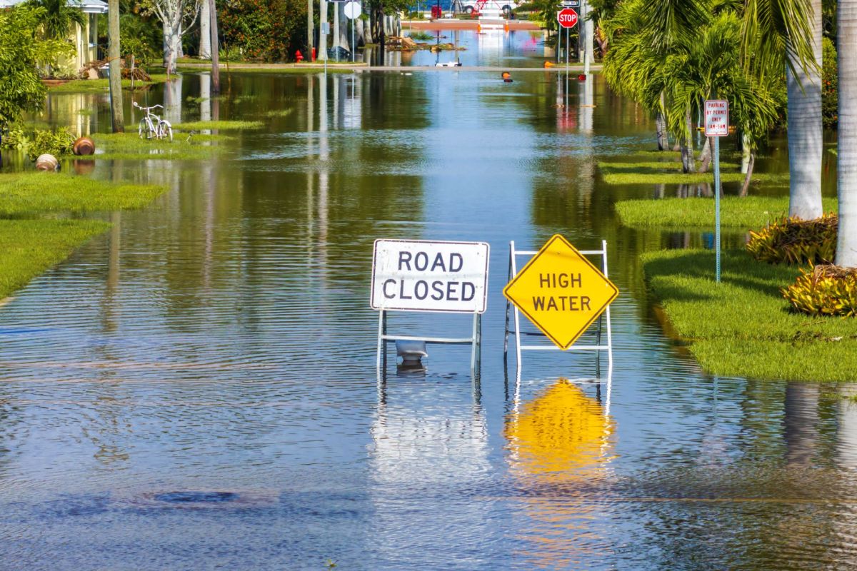
Pinellas County, Florida, is now tracking rising water and flooding through a network of cameras paired with a community reporting app, but the funding is set to expire in 2026.
Here's what to know
The Florida county has 37 flood-monitoring cameras that send information to Flood Report — a web app described as "WAZE for flooding" — connected to cameras installed across Pinellas County after years of University of South Florida research, where residents can upload real-time flood photos, as WMNF reported. Most of those cameras are located in St. Petersburg.
Because hurricanes and summer thunderstorms frequently cause flooding in St. Petersburg, the project is meant to give people a live look at roads and low-lying areas instead of leaving them to rely only on forecasts or static maps.
Barnali Dixon, a University of South Florida professor leading the project, secured a $1.5 million U.S. National Science Foundation grant in 2023 for the project, which has fully funded the build-out so far. "Our goal over here is to collect people's lived experience as a photograph, then use machine learning algorithms to make data out of it, so we can further validate and calibrate maps and models."
Researchers have also added a camera in Clam Bayou and expect to place another in Riviera Bay to expand the system's coverage, according to WMNF.
More background
The cameras stay fixed in place and capture one image every 15 minutes, day and night. That steady visual record can help connect large-scale flood modeling with the conditions residents are actually seeing outside their homes.
TCD Picks » Quince Spotlight
💡These best-sellers from Quince deliver affordable, sustainable luxury for all




Alec Colarusso, a PhD student working on the project, said the city of St. Petersburg recommended the Clam Bayou location for one of the cameras.
"It's usually a nice coastal low-lying area," Colarusso said. "There are flood protections in place, but most of the time they don't always ideally work as well."
What's being done?
Further expansion into other counties depends on whether or not additional funding becomes available.
"The contract is going to be ending in 2026, and then the city and county hopefully will assume the operating costs for those cameras," Dixon said.
People can also contribute directly through Flood Report, which can be found on Google. Photos submitted in the app can help neighbors track flooding in real time while also giving researchers more local information to improve maps and models.
Where can I learn more?
For more stories on flooding in Florida and beyond, check these out.
• In Florida, builders are focusing on flood prevention and protection methods as hurricane season intensifies.
• NOAA researchers have introduced a tool that generates flood maps in minutes.
• Central Florida is bracing for a flash flood threat as tropical moisture builds before hurricane season.
• The Florida Panhandle could see flooding from a Gulf spin-up even without a named storm.
• In South Korea, forecasters may soon predict fatal flash flooding about an hour earlier.

Get TCD's free newsletters for easy tips, smart advice, and a chance to earn $5,000 toward home upgrades. To see more stories like this one, change your Google preferences here.