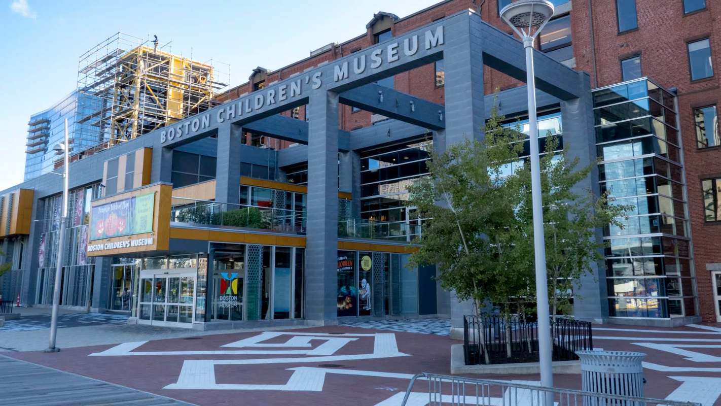
Flooding during a 2018 winter storm isolated the Boston Children's Museum, surrounding the popular family destination with water.
The museum's waterfront resiliency initiative carries a $15 million price tag, as rising seas threaten some of Boston's best-known properties.
Here's what to know
The plan would shield the museum's mechanical systems and ground-floor exhibits from flooding with a waterproof barrier around the building, according to Boston 25 News.
The museum's setting offers children and families a connection to the natural world, but its position along Fort Point Channel also exposes it to flooding.
Melissa Higgins, the museum's president and CEO, said the 2018 flooding made the need for protection clear. Water reached the front yard facing the channel and Sleeper Street behind the building.
Higgins said the project would offer an adaptation model for other waterfront buildings and preserve access for families.
TCD Picks » Quince Spotlight
💡These best-sellers from Quince deliver affordable, sustainable luxury for all




Marta Guerra, a Sasaki architect and urban designer, emphasized the urgency of the work.
"I think that private institutions like the museum and others are at the forefront because they feel it," Guerra said, according to Boston 25 News. "Right now, the city is also addressing some things, but the museum cannot wait because they would need to close, and it's terrible for business."
More background
High tides can already put parts of Long Wharf underwater. Sea level around Boston Harbor has climbed 8.5 inches since 1950, with a 20-inch rise projected by 2050, according to Boston 25 News.
Large portions of Boston sit on former tidal areas that were filled in, including parts of Back Bay and the South End, as well as Logan Airport.
Roughly 40% of Boston's population lives in those areas, which contain more than 20,000 buildings, according to Brian Swett, the city's chief climate officer.
What's being done?
At Harbor Towers, the residents' condominium association has put $20 million toward improvements, including barriers that can be installed quickly when flooding threatens and permanent sealing on the buildings' ocean-facing sides, Boston 25 News reported.
Norman Meisner, a Harbor Towers trustee, described the protective glass's strength.
"The glass is built to withstand 128-mile-an-hour winds, and a small vessel can bump it and not do harm," Meisner said.
Meanwhile, the U.S. Army Corps of Engineers is conducting a $6 million study of Boston's longer-term protection needs. The report, scheduled for completion in 2028, is expected to outline 20 projects covering a 16-mile stretch of coast.
Still, major shoreline protection projects can take decades to complete, according to Swett.
Swett said investments such as the museum's flood plan can help Boston avoid the greater expense of disaster recovery.
"The do-nothing scenario, in terms of cleaning up after a storm event, is always more costly than the preparedness," he said, according to Boston 25 News.
Where can I learn more?
Across Massachusetts, flood preparations range from protecting individual homes to strengthening community defenses.
• Boston homeowners can get free home flood checks to help prepare for costly water damage.
• A Massachusetts scientist warns that river cities need flood defenses as climate change fuels heavier rain.
• Worcester received $900,000 to map flood risks and identify where to invest next.

Get TCD's free newsletters for easy tips, smart advice, and a chance to earn $5,000 toward home upgrades. To see more stories like this one, change your Google preferences here.