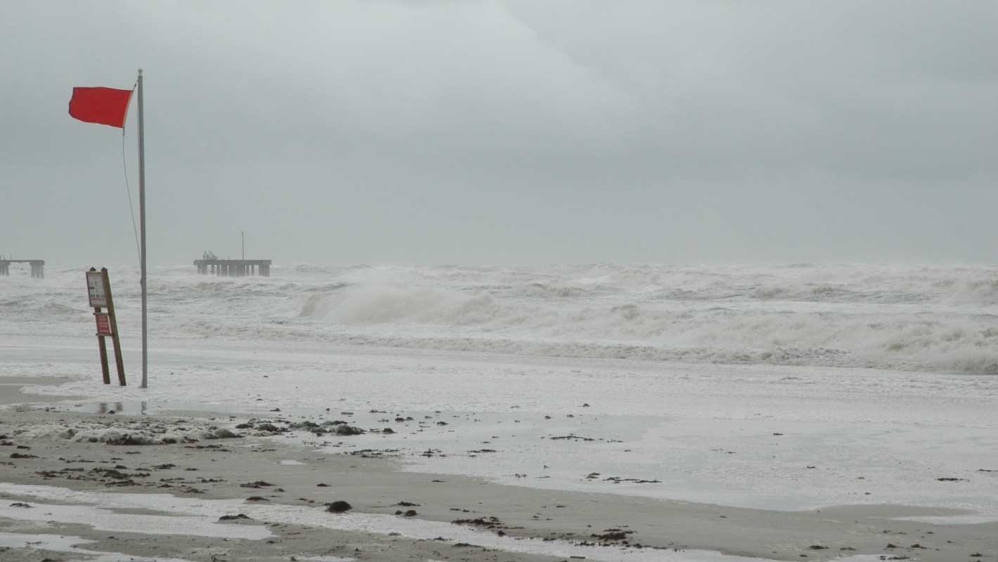
With smoke from wildfires and severe heat already defining much of the summer, meteorologists are watching a new ocean-driven pattern develop in the Atlantic.
At the same time that a strong Super El Niño is building in the Pacific, forecasters say the Atlantic is developing the rare conditions known as an Atlantic Niña — a pairing that may shape the remaining hurricane season, according to Fast Company.
What's happening?
The setup centers on cooler conditions in the tropical Atlantic alongside sharply warming Pacific waters.
Severe Weather Europe indicated that while the two patterns may sit opposite each other on a map, their atmospheric effects can reinforce one another in ways that affect storm development.
"A rare Atlantic Niña [not to be confused with La Niña] has appeared in the tropics, just as a powerful Super El Niño continues to build in the Pacific," Severe Weather Europe explained.
The outlet warned that the combination is "creating an atmospheric shield for the U.S. hurricane season."
TCD Picks » Quince Spotlight
💡These best-sellers from Quince deliver affordable, sustainable luxury for all




In that forecast, Severe Weather Europe noted that the "atmospheric shield" may produce a "hostile setup" for Atlantic hurricane development, bringing "higher pressure, sinking air, stronger wind shear, and reduced rainfall across the main tropical development regions."
This development follows NOAA's Climate Prediction Center saying El Niño is "likely to emerge soon," with an 82% chance of forming between May and July and a 96% chance of continuing from December into February 2027.
Why does it matter?
When storm patterns shift, effects can ripple through insurance costs, travel plans, food supply chains, energy systems, and disaster preparedness across broad parts of the country.
The season has already shown how multiple extreme weather events can unfold concurrently, including smoke-filled skies in the Northeast and major heat waves across the U.S. and Europe.
Looking ahead, Severe Weather Europe said August could mark an uptick in the Atlantic hurricane season, warning that the Atlantic Niña and Super El Niño together can create extreme regional imbalances and have a "clear impact on hurricane formation and landfalls."
What's being done?
Forecasters are closely monitoring both ocean patterns, and agencies such as NOAA continue to update seasonal outlooks to help communities prepare.
Those forecasts can give local officials, utilities, and emergency managers more time to plan for storm threats or unusual weather swings.
NOAA said El Niño is "likely to emerge soon."
And Severe Weather Europe argued that "these two ocean anomalies may look opposite on the map, but their atmospheric impact is pushing in the same direction."

Get TCD's free newsletters for easy tips, smart advice, and a chance to earn $5,000 toward home upgrades. To see more stories like this one, change your Google preferences here.