A radar image from Antarctica is getting noticed for a surprising visual: The icy scene seems to contain the outline of a hummingbird.
What looks like a bird is actually a mountain breaking through flowing ice, a formation that also gives scientists insight into how the continent's ice moves.
What's happening?
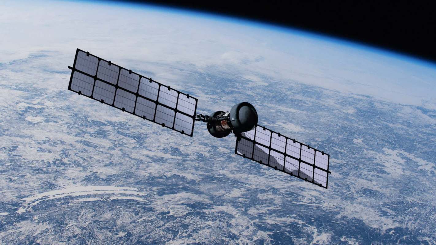
Scientists used data gathered by U.S. and Indian teams from two radar instruments aboard the NISAR (NASA-ISRO Synthetic Aperture Radar) satellite to create highly detailed views of a cracked Antarctic surface.
What could radar help us see in Antarctica? 🇦🇶@NASA and ISRO (Indian Space Research Organisation) took this astonishingly hummingbird-like satellite photo of the mountain Nunatak Zaterjavshijsja to find out! Taken by radar instruments aboard the satellite NASA-ISRO Synthetic… pic.twitter.com/5haN8UfBnH
— Museum of Science (@museumofscience) July 27, 2026
Among those images is an East Antarctic feature that resembles a hummingbird spread across the ice, according to Fox Weather. At its center is Nunatak Zaterjavshijsja, a mountaintop rising above ice that is moving northeast toward the sea.
As ice flows past the mountain, stress builds around it and splits the glacier into crevasses. Those fractures show up as green lines in the radar image, making the birdlike shape especially easy to see.
The image also highlights what radar systems can detect beyond ordinary photography. By comparing the way polarized microwave signals reflect from the surface, scientists can identify features that may be harder to spot in visible-light images.
TCD Picks » Quince Spotlight
💡These best-sellers from Quince deliver affordable, sustainable luxury for all




Why does it matter?
Detailed radar imagery gives researchers a way to study places that are difficult or dangerous to access on the ground. In Antarctica, that means a clearer picture of how glaciers move, where stress is building in the ice, and how the landscape beneath the surface influences that movement.
Its value extends beyond the polar regions. NASA says radar data can also be used to monitor ecosystems such as forests and wetlands and to support disaster response for events including landslides and earthquakes.
What's being done?
Radar observations from space are already being gathered, with the U.S. and India combining instruments and expertise to build a more complete record of how Earth's surfaces change over time.
Antarctica is part of that work, because patterns visible on the surface can show how glaciers are moving and how hidden terrain may be affecting that motion. In the images, the magenta and green colors mark differences in microwave reflections, offering clues that ordinary visible-light pictures might miss.
These observations can help researchers track ice behavior more accurately and better understand how remote landscapes function. The same tools can also aid broader environmental monitoring and natural-disaster response.

Get TCD's free newsletters for easy tips, smart advice, and a chance to earn $5,000 toward home upgrades. To see more stories like this one, change your Google preferences here.