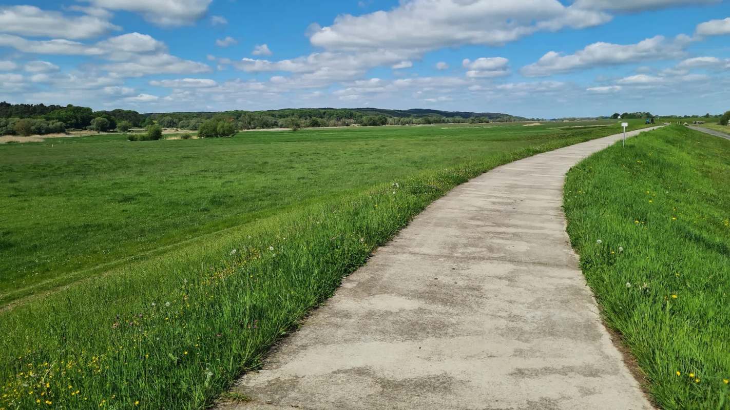
A levee protects the town center and part of Route 9 in Hadley, Massachusetts. However, updated federal flood maps make it appear that the structure does not exist, potentially leaving property owners with higher insurance rates as funding for repairs remains stalled.
Here's what to know
Hadley faces immediate levee repair costs estimated at $2 million to $3 million, according to Town Administrator Nate Malloy, the Daily Hampshire Gazette reported. The town could seek additional assistance from the Federal Emergency Management Agency if the repairs lead to accreditation.
Funding the Connecticut River dike and levee repairs remains a legislative priority for state Sen. Jo Comerford, a Northampton Democrat. She discussed the system with Hadley's Select Board at its Nov. 4 meeting.
An environmental bond bill authorizes $60 million toward the repairs. A proposed commission focused on river communities' needs is still in committee, while the authorized repair money awaits appropriation.
More background
FEMA's revised maps, which depict Hadley without a levee, could lead to higher insurance rates, the Gazette reported. That depiction does not reflect the protection the structure provides.
Road funding, school support, payments for state-owned land and general local aid all rely on formulas Comerford said were developed without communities like Hadley in mind. Her concerns extend beyond the levee to the way Massachusetts allocates funding to those communities.
TCD Picks » Quince Spotlight
💡These best-sellers from Quince deliver affordable, sustainable luxury for all




Comerford said the Chapter 90 funding formula still needs changes, even after the improvement of including road mileage.
"We've been shortchanged for too long," she said, according to the Gazette.
What's being done?
Joint applications for funding programs are among the possibilities Malloy is discussing with Hatfield officials as he explores cooperation between the towns.
Northampton is affected by Hadley's decisions, just as Hadley is affected by what happens in Hatfield, Comerford noted.
Hadley's need for levee support explains why lawmakers also call the proposed Connecticut River Commission the Hadley Commission, Comerford said. The commission would bring state-level attention to river communities' needs and help develop a unified plan.
Comerford also encouraged residents to seek openings on state boards and commissions, noting that hundreds of seats offer opportunities to participate. She is pushing to hold meetings virtually or within the region so residents can contribute without traveling to Boston.
"We have to act like one river, and this is going to allow us to act as one river, and to hopefully provide some focused support.," Comerford said, per the Gazette.
Where can I learn more?
Other communities face similar questions about flood maps and how to protect homes from flooding.
• In Texas, a LiDAR study could remove homes from FEMA's floodplain rules.
• Massachusetts awarded Worcester $900,000 to map local flood risks and guide future investments.
• Berkshire County will map hidden ghost dams that may increase flooding risks.

Get TCD's free newsletters for easy tips, smart advice, and a chance to earn $5,000 toward home upgrades. To see more stories like this one, change your Google preferences here.
Cool Picks