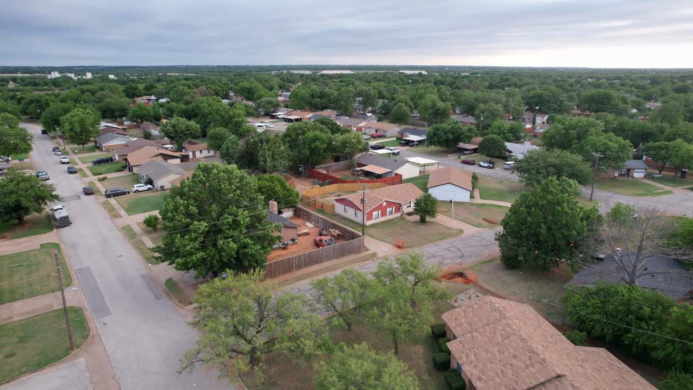
Federal floodplain rules affecting some Wichita Falls, Texas, homeowners may ease if a new city-backed engineering analysis leads to map changes.
Updated lidar-based 3D modeling showed FEMA's map may place too much of the east side of the city inside the floodplain.
Here's what to know
The city hired HDR Engineering for a flood mitigation study in June, and preliminary results indicated the floodplain may be smaller than FEMA's latest version, according to News Channel 6.
The lidar data and 3D modeling could move the floodplain three to four blocks on the east side, with other parts of the city also possibly seeing improvements.
That could mean some properties no longer fall under federal floodplain rules if the Federal Emergency Management Agency accepts the revised findings after its review.
Wichita Falls Chief Engineer Tyson Traw told News Channel 6 that even if a property isn't removed from FEMA's floodplain, the revised map could still reduce the portion subject to federal oversight.
TCD Picks » Quince Spotlight
💡These best-sellers from Quince deliver affordable, sustainable luxury for all




"This will do one of two things: either remove that property entirely from FEMA's regulation or, No. 2, make that feel less. So in either way, we're talking about reducing the burden on people who right now find themselves in the floodplain," Traw said.
More background
When home projects in Wichita Falls trigger floodplain development requirements, the map determines what owners can do with their properties.
Traw said this can put city staff in a position where they have to limit what residents want to do with their homes.
"My office has to regulate these floodplain development permits when they come in, and it's never a good thing when we have to tell someone, 'Hey, actually, you can't take your own money and invest in your home the way you want to because you're in a floodplain,'" Traw said, according to News Channel 6.
A shift could change the status of multiple properties, and other parts of Wichita Falls may also benefit from a more accurate map.
HDR Engineering said that once results are submitted, FEMA could take up to 90 days to make a decision. The city said a revised floodplain map may not be in place until January 2028, per News Channel 6.
What's being done?
The city paid $177,535.69 for the flood mitigation study, a cost Traw said was justified by the potential impact on residents.
For any changes to take effect, FEMA would need to accept the revised map.
If that happens, owners could face fewer permit hurdles and constraints on home improvements, while certain properties might stop being regulated.
City officials say the effort looks to ease restrictions where current mapping no longer matches the best available data.
"This item is actually going to make an immediate difference as soon as we can get the letter of map revision accepted by FEMA," Traw said, per News Channel 6. "People will be able to realize that right away. If we didn't believe that there was real tangible impact that we could have in terms of benefit to the community, then we wouldn't be pursuing this at this time."
Where can I learn more?
For more on how flood maps, storm risk, and development decisions affect homeowners, these stories offer useful context.
• In Houston, FEMA's altered flood maps raised concerns about insurance costs for homeowners.
• Across growing cities, development into high-risk flood zones is putting more homes in danger.
• In North Carolina, homes built in flood-prone areas fueled pressure for buyouts and relocation.

Get TCD's free newsletters for easy tips, smart advice, and a chance to earn $5,000 toward home upgrades. To see more stories like this one, change your Google preferences here.