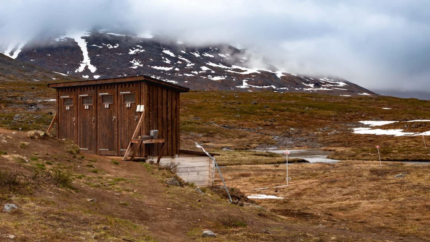
Deep in New Zealand's backcountry, checking a public toilet can mean hours of travel through rugged terrain, and in some cases even a helicopter ride.
Now, the country is testing a less labor-intensive solution: satellite-connected sensors.
Here's what to know
As ZME Science reported, the Department of Conservation began a pilot program that uses broadband satellites to monitor remote toilets, huts, and wastewater systems. The same network is planned to track predator traps and wildlife cameras.
The Connected Conservation pilot was announced in April and includes more than 50 smart sensors installed at over 20 remote facilities.
Initial installations focused on Mount Aspiring, Fiordland, and Tongariro national parks, where arranging maintenance visits is often costly and difficult, per ZME Science.
New Zealand has 2,000 public conservation toilets, many of them spread across isolated trails and protected wilderness areas. Rangers have typically depended on inspection schedules and guesses about how heavily each site is used for maintenance. That can mean visiting facilities that are operating normally or finding problems long after they have developed.
TCD Picks » Quince Spotlight
💡These best-sellers from Quince deliver affordable, sustainable luxury for all




By reporting wastewater levels and usage remotely, the sensors let staff base service trips on need. The setup relies on One NZ and SpaceX's Starlink network, according to ZME Science.
The Department of Conservation estimates that making more selective service trips on some of its busiest trails could save over 1 million New Zealand dollars ($565,100) over six years while avoiding about 30 tonnes of carbon dioxide pollution, largely by cutting back on unnecessary helicopter and vehicle trips.
More background
The pilot is also being used to test how this kind of remote monitoring could support conservation work in some of New Zealand's hardest-to-reach ecosystems.
One NZ says roughly 40% of the country's landmass lacks traditional mobile coverage. That presents a major challenge with biodiversity pressure. The Department of Conservation says predators including rats, stoats, and possums kill 25 million native birds each year, and over 4,000 native species are listed as threatened or at risk of disappearing, ZME Science reported.
New Zealand's Predator Free 2050 program looks to eliminate some of the country's most destructive invasive predators, but doing so requires monitoring across vast landscapes. In areas without cellular coverage or that are not easily accessible, even something as simple as checking whether a trap has been triggered can require a labor-intensive field visit.
Because the pilot's connection comes from satellites rather than ground infrastructure, there is no need to erect towers or run lines. Compatible devices can send small packets of information through the satellites, which orbit at low altitudes, ZME Science noted.
There are still limitations, as sending a few updates each day from a sensor is far easier than transmitting large video files.
Where can I learn more?
This is part of a broader push to use similar tools to monitor ecosystems with less disruption.
• In the Alps, researchers built a wildlife behavior dataset to track animals without human disturbance.
• Across U.K. parks, conservation teams use drone surveys to locate rare wildlife.
• Scientists are using satellite imagery to detect plastic pollution before it spreads through waterways.
• In the U.S., volunteers are using satellite-assisted bird tracking to help purple martins recover.

Get TCD's free newsletters for easy tips, smart advice, and a chance to earn $5,000 toward home upgrades. To see more stories like this one, change your Google preferences here.