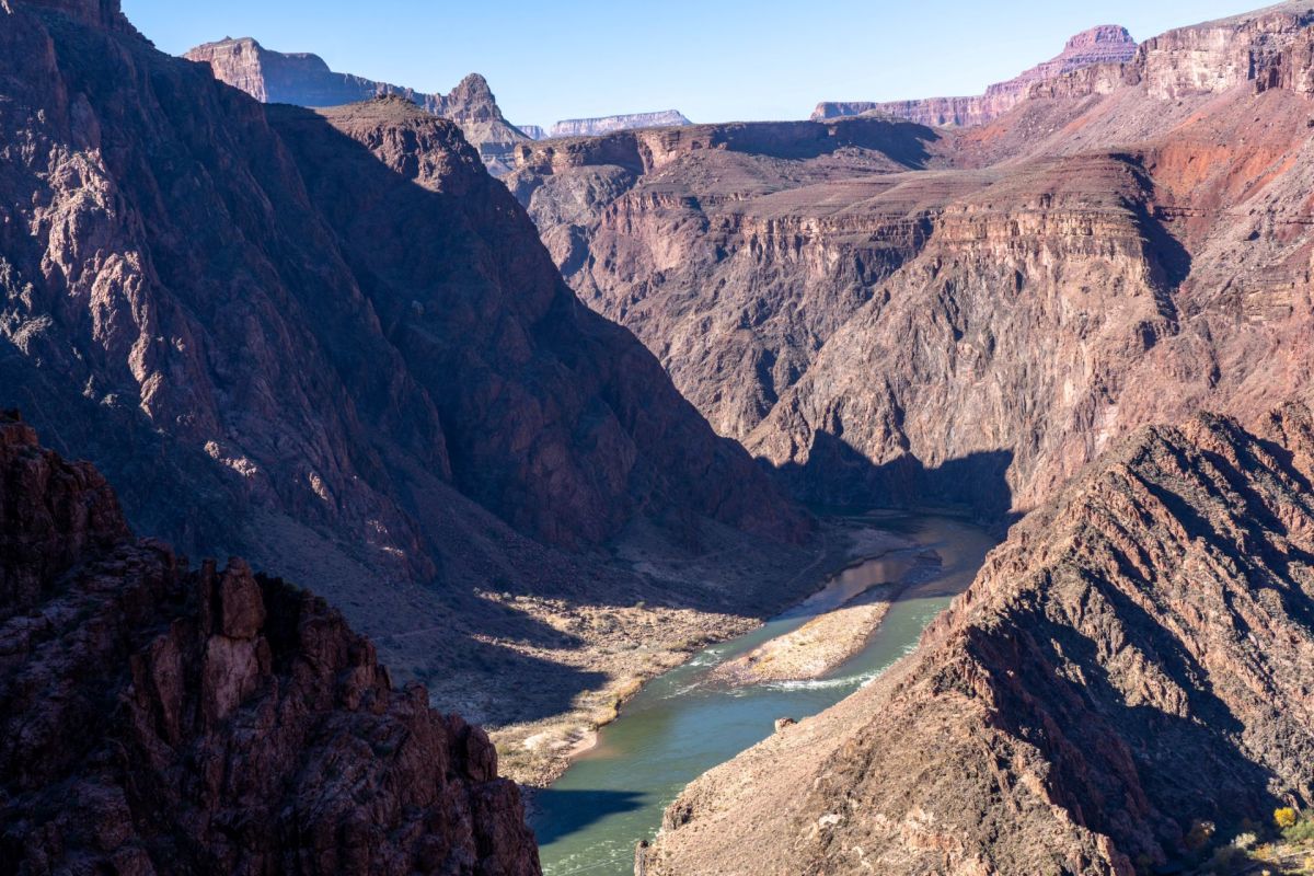
The Colorado River Basin's latest groundwater shock did not hit hardest in the hottest places.
During the 2020-2022 drought, the river's snowy upper basin lost nearly twice as much groundwater as the desert lower basin, challenging the long-standing assumption that the mountain headwaters are the system's more drought-resilient half.
Here's what to know
According to Earth.com, the 2020-2022 drought drained an estimated 4.6 trillion gallons of groundwater from the upper basin and about 2.5 trillion gallons from the lower basin.
In the upper basin, that worked out to an average depletion of about 1.6 trillion gallons per year.
Published in the journal Water Resources Research, the study tracked groundwater changes from October 2003 through September 2023 and found that the Colorado River Basin has lost about 15 trillion gallons of water since 2004, with groundwater accounting for about half of that decline.
For Esther Oyedele, a graduate student in Virginia Tech's Department of Geosciences, the scale of the upper basin losses was unexpected.
TCD Picks » Quince Spotlight
💡These best-sellers from Quince deliver affordable, sustainable luxury for all




"We generally think of the Upper Basin as more resilient because of its snowmelt-driven recharge," she said, per Earth.com. "I did not expect to see so much groundwater loss there during the recent drought. What surprised me even more was that groundwater did not track surface water shortages in the same way in the Upper and Lower Basins."
To isolate groundwater losses, Oyedele, Susanna Werth of Virginia Tech, and a colleague at Indiana University used NASA's GRACE satellites to detect small gravity changes linked to shifts in water stored on and below land.
After accounting for soil moisture, snow, and reservoir water, the remaining signal reflected groundwater.
More background
About 40 million people in seven states rely on the Colorado River, and irrigation uses 70% to 80% of its water.
By the end of 2022, Lake Mead and Lake Powell were roughly one-quarter full, down from 95% in 2000.
The study found that groundwater behaves differently in the basin's two halves. In the upper basin, groundwater drought tended to emerge about five months after surface water shortages, and once deficits grew severe, the likelihood of groundwater drought climbed to about 95%.
The lower basin showed the opposite pattern: Groundwater started dropping roughly four months before reservoirs did, and even severe surface shortages pushed groundwater drought odds only to about 65%.
Oyedele and Werth think the likelier explanation is pumping that doesn't wait for a shortage.
A wetter 2023 helped offset some losses, though wet years still haven't canceled out dry years since 2005.
Groundwater helps sustain rivers between storms and snowmelt, and continued depletion could further weaken a river system that is already under intense pressure.
What's being done?
Because satellites measure broad areas about 190 miles across, the researchers compared their results with groundwater wells in the lower basin.
Those well records matched the satellite data for two droughts, giving the team added confidence in the basinwide picture.
The Arizona numbers also showed how uneven the impacts can be. In water districts overseen by the Arizona Department of Water Resources, the Phoenix and Pinal districts saw the largest surface water cuts and the biggest groundwater losses: about 211 billion and 238 billion gallons, respectively.
Tucson offered a very different example. The city brings in Colorado River water and banks some of it in its aquifer, and the study found that it gained about 53 billion gallons of groundwater. Meanwhile, unregulated land in the southern lower basin lost more groundwater than all the regulated districts combined.
Werth, an assistant professor of hydrology and remote sensing, warned the basin can no longer be managed by watching surface water alone.
The next step is to determine how much additional depletion the basin's aquifers can handle, using more monitoring wells and finer satellite data.
"Continued groundwater depletion, especially in the Upper Basin, could further reduce groundwater contributions to rivers and intensify the feedback between groundwater loss and surface-water shortages," Werth explained, per Earth.com.

Get TCD's free newsletters for easy tips, smart advice, and a chance to earn $5,000 toward home upgrades. To see more stories like this one, change your Google preferences here.