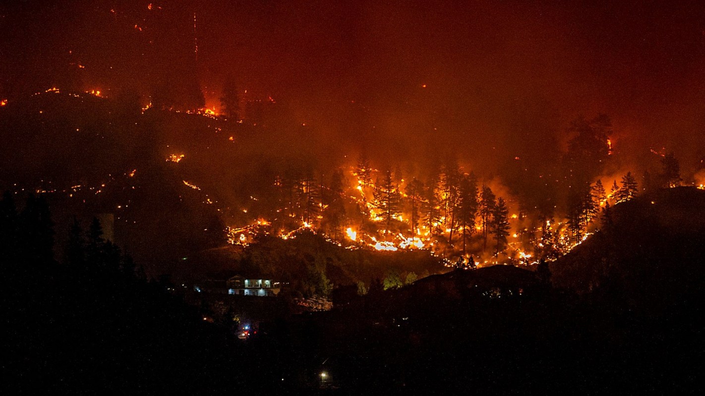
British Columbia's wildfire forecasters are being asked to model more volatile fires with tools based on decades-old fire behavior data.
There's a simple reason why, and it represents a "Catch-22" for forecasters hoping to keep the authorities ahead of worsening fire events.
Here's what to know
A TikTok explainer from CBC British Columbia (@cbcbritishcolumbia) reporter Georgie Smyth looks at why firefighters in British Columbia still depend on fire-behavior information rooted in the 1990s.
@cbcbritishcolumbia Being a fire forecaster in B.C. is tough. Prolonged drought has made forests in the province's southern Interior incredibly flammable, and as Georgie Smyth explains, firefighters are still forced to use prediction data that is more than 30 years old. Here's why. #Wildfires #CBCNews #News #Data #BritishColumbia ♬ original sound - CBC British Columbia
Those forecasting programs are used as soon as a wildfire is found to estimate "rates of spread, fire intensities and other metrics of fire behaviour," yet the models are still fed by observations gathered from fires decades ago.
Smyth emphasized how old that information is by revealing that "the last time it had a major update was 1992."
The reason, Smyth said, is that "it's no longer safe to go in and collect new metrics."
TCD Picks » Quince Spotlight
💡These best-sellers from Quince deliver affordable, sustainable luxury for all




Smyth said the gap is already showing up in the results. On some of British Columbia's toughest fires, the models "have underperformed," including a blaze that "predicted half the spread distance that was observed that day."
More background
The outlet said a long stretch of dry weather has made forests in British Columbia's southern Interior especially flammable.
Smyth said the area is "the driest place in Canada" and added that "nowhere else in the country is experiencing as bad a drought."
Smyth said the region is seeing "such explosive fires, ones that can totally incinerate forests from the ground to the tops of 30 meter (~98 feet) trees."
Smyth said some blazes become even more severe: "Some get so intense they create fire clouds."
That means the original database was built for different kinds of wildfire conditions than the ones crews face. As Smyth said, "Those were not the conditions that we collected data for."
What's being done?
In a written report by Smyth on the CBC website, forecasters explained that collecting data from life-threatening fires remains a challenge. Experiential burns are also not feasible amid heavy drought in this part of Canada.
Other ways to gather data include prescribed, or preventative, burns. The CBC also mentioned a collaboration with NASA, where the U.S. agency obtains data by flying through firestorms.
Lastly, the outlet noted artificial intelligence might be a predictive tool in the future. Neal McLoughlin, superintendent of predictive services with the B.C. Wildfire Service, said real-time observations are still the gold standard.
"If we're not making an effort to collect that data on the ground to inform these models, they're not going to make good predictions," he told the CBC. "It's as simple as that."
Where can I learn more?
Wildfire forecasting is getting harder as fires become more extreme, making the tools even more critical.
• In wildfire-prone regions, scientists are building tools to predict lightning strikes before blazes ignite.
• Across the American West, fewer fires are torching far more land than before.
• Researchers warn that temperate regions will need to prepare for worse wildfire conditions.

Get TCD's free newsletters for easy tips, smart advice, and a chance to earn $5,000 toward home upgrades. To see more stories like this one, change your Google preferences here.