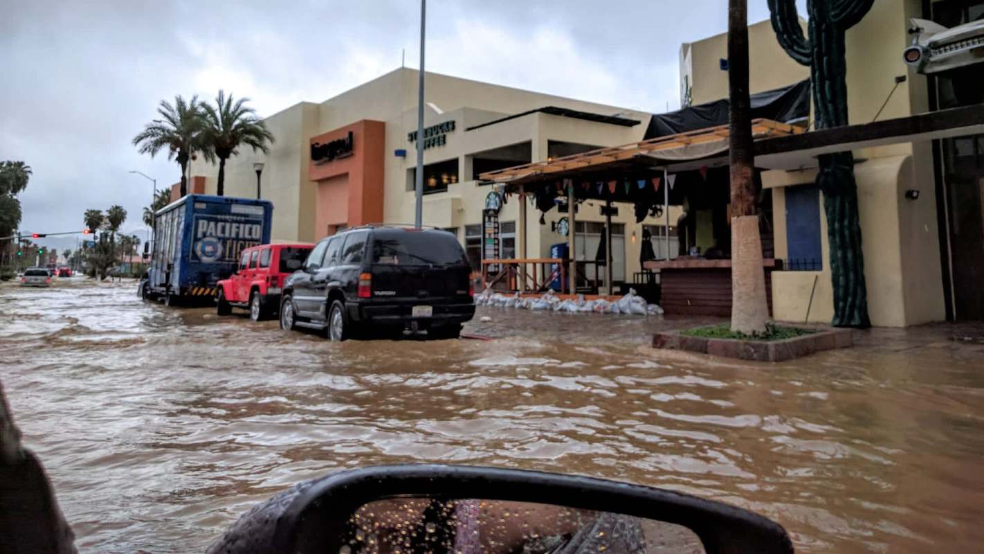
Off Mexico's southwestern coast, Hurricane Polo rapidly strengthened into a Category 5 storm before easing slightly, showing how dangerous extreme weather can become even without a direct landfall.
Forecasters said the hurricane is likely to stay offshore, but nearby coastal communities could still face heavy rain, rough surf, and flooding threats.
Here's what to know
CBS News reported that Polo's maximum sustained winds had dropped to 145 mph by the afternoon of Sept. 23, 2026, after reaching 180 mph on Sept. 22, easily surpassing the threshold for a Category 5 hurricane.
The U.S. National Hurricane Center said the storm was about 150 miles off Zihuatanejo, Guerrero, on Sept. 23, with outer rain bands already affecting parts of the coast.
According to the National Hurricane Center, Polo was moving northwest at 5 mph and could keep fluctuating in strength. Mexico issued a tropical storm warning from Tecpan de Galeana, Guerrero, to Punta San Telmo, Michoacán, and a tropical storm watch from Punta San Telmo to Playa Perula, Jalisco.
Forecasters said parts of Guerrero and Michoacán could get about 3 to 6 inches of rain through Sept. 24, with isolated totals near 8 inches. Coastal sections of Oaxaca, Colima, and Jalisco could also see 2 to 4 inches, along with dangerous surf and rip currents.
TCD Picks » Quince Spotlight
💡These best-sellers from Quince deliver affordable, sustainable luxury for all




More background
The hurricane center said Polo met the definition of extreme rapid intensification, which refers to a storm gaining at least 58 mph in wind speed over 24 hours. For Polo, that meant a jump from 45 mph early Sept. 21 to 150 mph around the same time on Sept. 22, according to CBS News.
The hurricane center described the shift as "truly remarkable." By central pressure, Polo ranked second in Eastern Pacific records behind 2015's Hurricane Patricia, while its wind speeds matched 2009's Hurricane Rick as the region's third-strongest on record.
Unusually strong El Niño conditions in 2026 have boosted tropical cyclone activity in the Pacific, with warmer waters, moist air, and lower wind shear helping storms intensify.
What can be done?
Areas under warnings or watches were advised to monitor updates from local officials and the National Hurricane Center. Slow-moving storms can trigger dangerous flooding even when they stay offshore, and conditions can change quickly.
Dangerous surf and rip currents are expected. Flooded roads and fast-moving water can quickly turn deadly, especially in steep terrain where mudslides are possible.
The National Hurricane Center said Polo was still expected to remain a "very powerful major hurricane" even without making landfall, CBS News noted. It also warned that heavy rain "may produce life-threatening flooding and mudslides, especially in areas of steep terrain."
Where can I learn more?
Polo's sudden jump in strength — and the flooding danger it poses even offshore — reflects a wider trend in hurricane behavior. The articles here explain why storms are intensifying so quickly, how the risks are shifting, and what communities face before and after landfall.
• Scientists say the Atlantic and East Pacific face an unprecedented hurricane surge this decade.
• Forecasters say Hurricane Erin showed how extreme rapid intensification can outpace communities' preparations.
• After catastrophic storms, recovery workers and residents can face deadly heat during cleanup.

Get TCD's free newsletters for easy tips, smart advice, and a chance to earn $5,000 toward home upgrades. To see more stories like this one, change your Google preferences here.