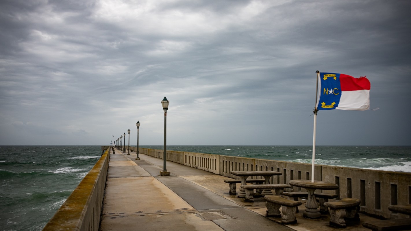
The National Weather Service is warning that an unusual September nor'easter may form off North Carolina and bring heavy rain, gusty winds, rough surf, and possible coastal flooding to a broad stretch of the East Coast.
According to The Washington Post, the system could also become more tropical in character as it strengthens south of New England.
Here's what to know
Rain and thunderstorms were expected across parts of the central and eastern United States before any offshore intensification, while the National Weather Service warned on September 21 that a coastal storm could begin organizing near the Mid-Atlantic and then track northward.
Several days of onshore flow could increase the risk of coastal flooding and erosion, especially with higher tides tied to the full moon, the National Weather Service said.
The agency also said that eastern North Carolina may see more rain starting September 24, with wetter conditions then spreading into New England on September 25 and September 26.
North Carolina forecasters also said that hazardous marine conditions could begin on September 23, including large waves and "dangerous surf conditions, beach erosion and potentially ocean overwash at vulnerable locations along the Outer Banks."
TCD Picks » Quince Spotlight
💡These best-sellers from Quince deliver affordable, sustainable luxury for all




If the system tracks closer to the coastline, beach communities could face flooding, heavy surf, and winds strong enough to cause local damage. A farther-offshore path would likely reduce those impacts.
September is a rare time for a storm like this. Only roughly 1% of the most intense nor'easters on record have developed in that month, with most occurring from December through March.
More background
Nor'easters are broad low-pressure systems that form off the East Coast and often bring strong northeast winds as they move north along the Atlantic shoreline.
This storm could strengthen where cooler air from eastern Canada meets much warmer Atlantic air and unusually warm ocean waters. That contrast can help fuel stronger storms and worsen coastal impacts.
The Outer Banks have seen 21 home collapses since September 2025 as erosion, stronger wave action, and repeated coastal hazards reshape communities.
What can be done?
People in potentially affected areas should keep monitoring forecasts from the National Weather Service and local emergency officials, since the storm's track will determine how severe the impacts become.
Residents in flood-prone or oceanfront areas can also prepare by securing outdoor items, avoiding unnecessary travel during heavy rain, and staying off piers, jetties, and beaches during dangerous surf. Even minor-to-moderate tidal flooding can make roads impassable and damage vehicles or property.
"It is too soon to determine specifics at this point, and trends will have to be monitored," the National Weather Service in Newport/Morehead City wrote in its forecast.
Where can I learn more?
These stories add context on the coastal storm threats forecasters are tracking along the East Coast.
• Along the East Coast, tropical systems gathered strength as dangerous surf and flooding threats grew.
• Across the inland U.S., hurricane flooding threats could still inundate communities this season.
• Across Atlantic coastlines, hurricane season patterns left coastal residents watching the tropics closely.
• Researchers warned the East Coast faces rising wind and surge risks in coming decades.

Get TCD's free newsletters for easy tips, smart advice, and a chance to earn $5,000 toward home upgrades. To see more stories like this one, change your Google preferences here.