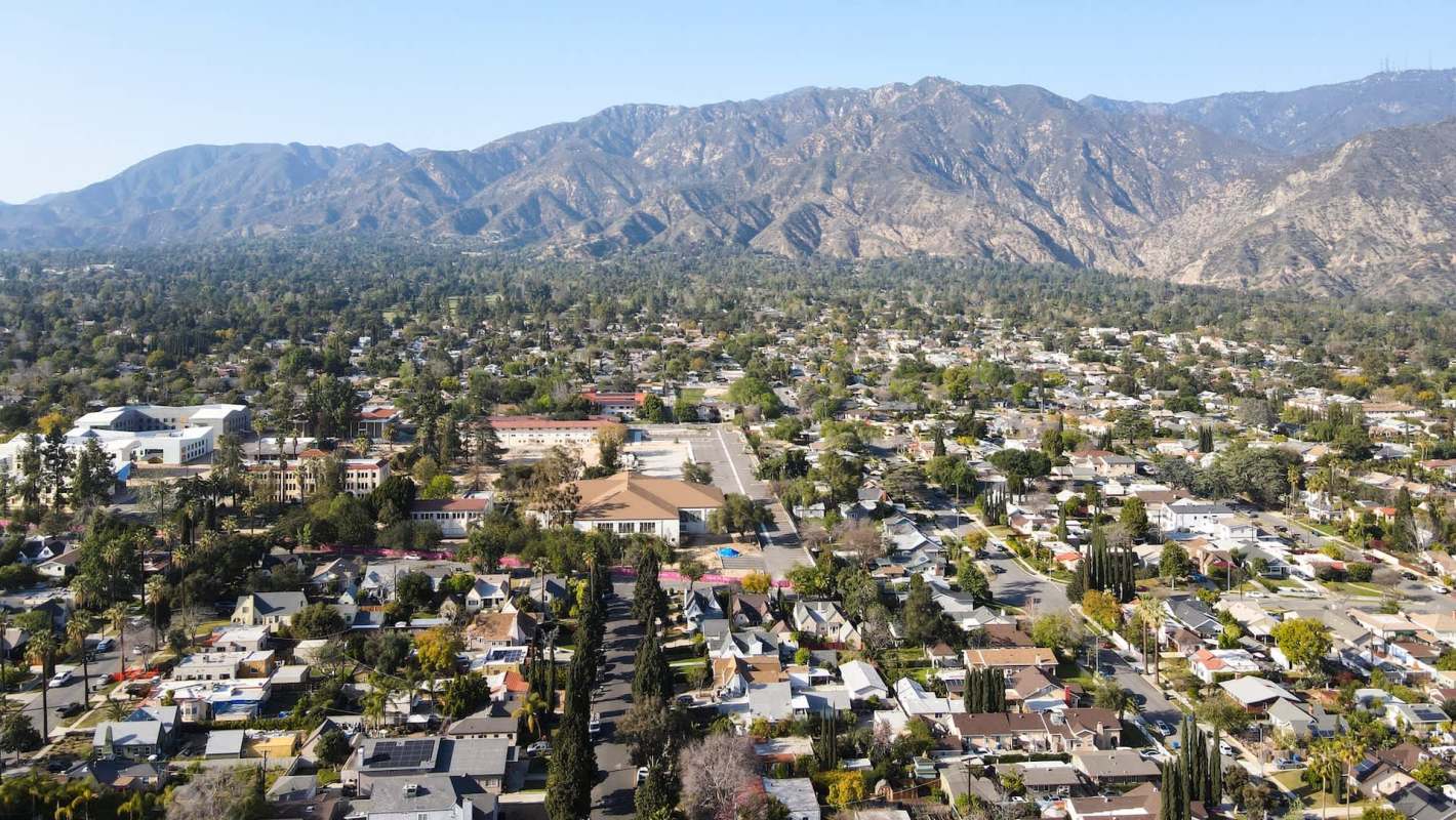
Pasadena invited residents to help shape the city's first Environmental Justice Element, a new chapter of the General Plan that will help guide investments in pollution mitigation and green infrastructure.
By taking part in a Neighborhood Walk and Roll on Tuesday, Sept. 15, residents can share what they observe about pollution, housing, and access to parks.
Here's what to know
The event, which the city announced in a Sept. 3 news release, is scheduled from 9 a.m. to 11 a.m. at Villa Parke Community Center, 363 E. Villa St.
City officials plan to add the Environmental Justice Element as a new chapter to Pasadena's General Plan. The city says it is intended to help direct where Pasadena invests in pollution mitigation and green infrastructure.
The effort stems from California Senate Bill 1000, also known as the Planning for Healthy Communities Act. Under the 2016 law, cities must identify environmental justice communities and create goals, policies, implementation programs, and priorities that address disparities across environmental justice issues.
Pasadena says its element will cover six topics: pollution exposure; safe, sanitary and affordable housing; healthy, affordable food; public facilities and programs; active living and physical activity; and inclusive, meaningful engagement.
TCD Picks » Quince Spotlight
💡These best-sellers from Quince deliver affordable, sustainable luxury for all




Using pollution and socioeconomic information, including data from the state's CalEnviroScreen tool, planners have outlined initial environmental justice community boundaries, the city says. Those preliminary lines include seven census tracts in Northwest Pasadena.
More background
According to the city, the identified tracts cover an area bordered by the 210 freeway to the south, Arroyo Boulevard to the west, Los Robles Avenue and parts of Lake Avenue to the east, and, in some places, extend north to Woodbury Road.
The department's program page says people living there face relatively high levels of transportation-related air pollution, lead exposure, and economic burdens.
The city is asking residents to explain how those conditions are experienced in everyday life. That feedback may lead Pasadena to revise the preliminary boundaries so they better match lived experience.
What's being done?
The Sept. 15 event is the first of four public engagement opportunities. Another Neighborhood Walk and Roll is scheduled for Saturday, Oct. 3, at Robinson Park Recreation Center, 1081 N. Fair Oaks Ave.
After that, the city plans an open house and resource fair at Robinson Park Recreation Center on Thursday, Oct. 15, followed by a virtual community meeting on Wednesday, Oct. 21.
City officials have said those preliminary boundaries remain subject to change based on what residents share.
Where can I learn more?
Pasadena's planning effort centers on how pollution, mobility, and access to parks shape daily life in specific neighborhoods. These articles explore how other communities are addressing walkability, bike access, park availability, and public infrastructure.
• Cities are becoming more walkable as planners respond to traffic congestion and air pollution.
• In California, a settlement could reopen long-blocked park access and fund a major overhaul.
• In Paris, residents are getting around by bike in unexpectedly large numbers.
• Lancaster officials want EV chargers in public parks to ease costs for drivers.
Each offers a different example of how decisions about streets, parks, and infrastructure can shape environmental health.

Get TCD's free newsletters for easy tips, smart advice, and a chance to earn $5,000 toward home upgrades. To see more stories like this one, change your Google preferences here.