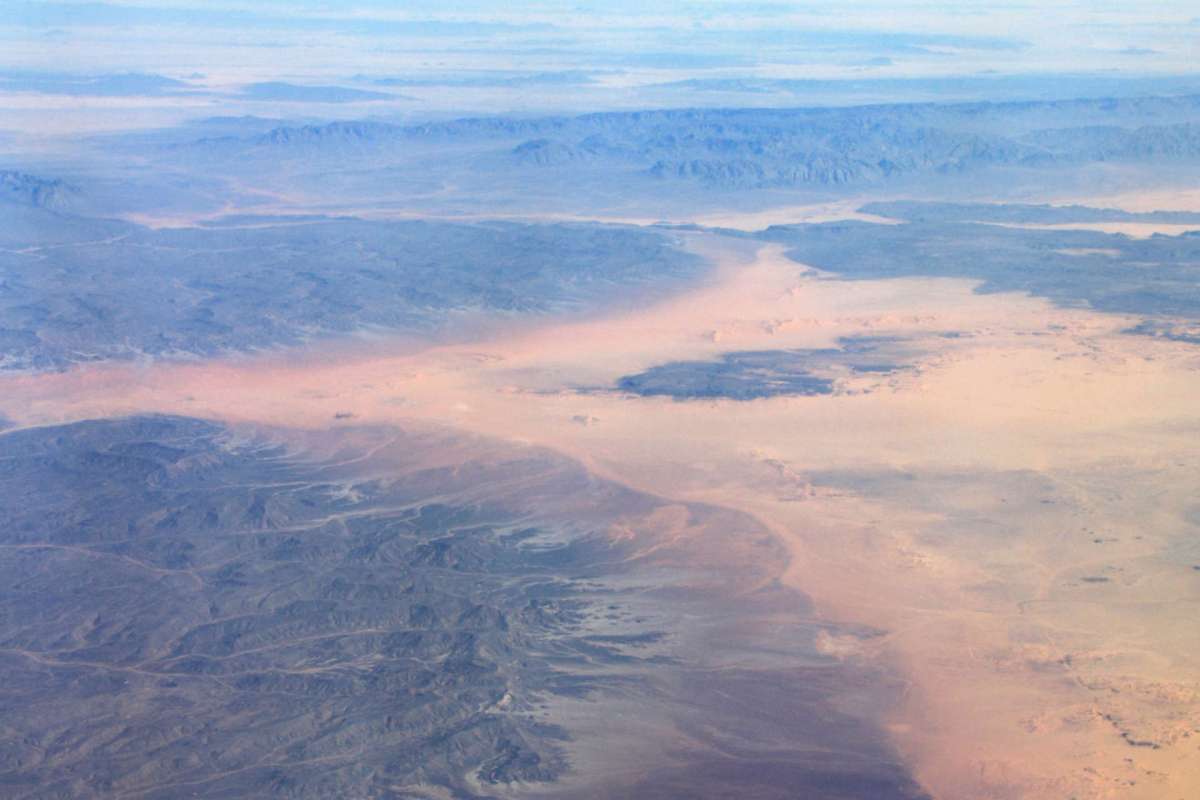
A striking NASA satellite image captured a massive dust plume stretching across Mali and pushing west toward the Atlantic Ocean as West Africa's busiest dust season began to wind down.
From orbit, the haze nearly matched the color of the desert below, with scattered clouds and a few darker areas of terrain providing the clearest contrast.
Here's what to know
A major dust storm over West Africa appears in an image taken Sept. 5, 2026, by the MODIS instrument aboard NASA's Terra satellite. The plume covers much of Mali, and the airborne particles drift west and reach the Atlantic, according to Earth.com News.
A massive dust storm erupts in West Africa as the seasons change https://t.co/YlgSTRtqJ2 #EarthDotCom #EarthSnap #Earth
— Earth.com (@EarthDotCom) September 10, 2026
Among the continent's key dust-producing zones are the El Djouf area spanning Mauritania and Mali and Chad's Bodélé Depression, according to NASA atmospheric scientist Hongbin Yu. Northern Africa generates more atmospheric dust than any other part of Earth because it has exposed sediment, sparse vegetation, dry conditions, and winds strong enough to carry particles high into the air.
NASA Earth Observatory said Tianle Yuan, an atmospheric scientist at NASA's Goddard Space Flight Center, linked the September storm to a haboob. These storms can develop near intense thunderstorms when rain-cooled air plunges downward, rushes across arid ground, and lifts sand, silt, and clay aloft.
Researchers at NASA said the plume was unlikely to complete a full trans-Atlantic journey, in part because seasonal wind patterns were already starting to change, Earth.com News reported.
TCD Picks » Quince Spotlight
💡These best-sellers from Quince deliver affordable, sustainable luxury for all




More background
Dust storms in Africa are common, but their paths depend heavily on the season, since shifting wind patterns and the movement of the Intertropical Convergence Zone move the main dust corridor farther north, reported Earth.com.
In December and January, northeasterly Harmattan winds usually push dust southwest across West Africa toward the Gulf of Guinea. As the year goes on, those circulation patterns shift, which is why this plume was not expected to travel all the way across the ocean.
Where can I learn more?
These articles look at the same kinds of atmospheric and climate forces behind the Mali dust plume, but in very different settings. They explore how shifting weather patterns can disrupt African ecosystems, alter monsoon behavior in India, and continue affecting communities after severe storms pass.
• Across Africa, climate-driven extreme weather is disrupting one of the continent's iconic animal migrations.
• Arctic ice loss is having significant, far-reaching effects on monsoon timing and intensity in India.
• After major storms, death rates can rise for weeks as healthcare systems strain.
These articles also help show why seasonal wind shifts and extreme weather matter far beyond a single satellite image. The same large-scale patterns that steer Saharan dust can reshape ecosystems and affect human health.

Get TCD's free newsletters for easy tips, smart advice, and a chance to earn $5,000 toward home upgrades. To see more stories like this one, change your Google preferences here.