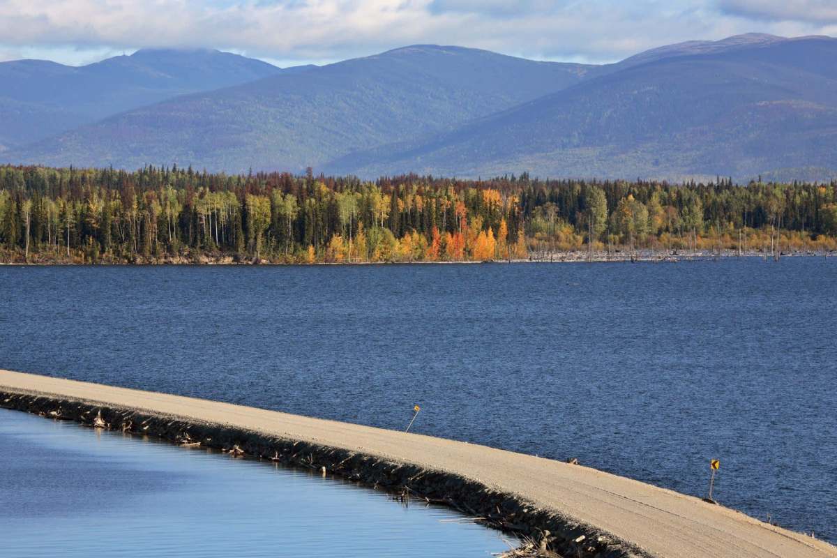
A tree-covered island briefly appeared on British Columbia's Williston Lake and then vanished again.
The footage looked so improbable that a BC Hydro spokesperson initially doubted it, before later confirming that the huge patch of vegetation had indeed been there.
Here's what to know
Because Williston Lake in northern British Columbia is so well charted, local boaters know its islands well. That is why a green, woody landmass that had not been seen before stood out when it showed up in August and began making the rounds on social media, The New York Times reported.
'According to estimates, it's bigger than the size of a Canadian football field and nearly the size of two NFL fields' https://t.co/zhFI83WOeu pic.twitter.com/AxulAa7qtW
— philip lewis (@Phil_Lewis_) August 30, 2026
The surprise was heightened by the scale of the reservoir. Williston is British Columbia's largest freshwater body and the seventh-largest artificial reservoir in the world by volume, and it has flooded more than 650 square miles since 1972. A newly noticed feature estimated at nearly 2.5 acres was unusual in a place that size.
Bob Gammer, a BC Hydro spokesperson for the government-owned utility that runs the reservoir and the nearby W.A.C. Bennett Dam, said the clip initially seemed too strange to accept as genuine.
A satellite image from July 21 later showed a green speck in open water at the same spot.
TCD Picks » Quince Spotlight
💡These best-sellers from Quince deliver affordable, sustainable luxury for all




"This is a first for us, for this reservoir," Gammer said.
Rather than a new permanent island forming, officials think the more likely explanation is that a floating mass of vegetation broke loose and drifted into the lake, even though videos of the mass showed full trees on it.
More background
The utility's main theory is that the island began as logs and other woody debris that had built up over many years along a protected shoreline. Over time, that material decomposed enough for vegetation to grow on it, eventually forming a raft-like mass capable of floating.
Gammer summed up the theory this way: "One possible explanation that seems fairly credible is that it formed from logs and woody debris. The logs and woody debris accumulated over many years in a sheltered shoreline area."
Even though a floating vegetation mat is not solid land, it can still support grasses, shrubs, and even trees. Water levels are at their highest in 14 years, which may have helped lift the mat away from shore and carry it into open water.
Large floating debris can pose a hazard to boaters, even if it does not threaten the dam itself.
What's being done?
Rocky Avery, a longtime resident and friend of the boater who filmed the video, said he shared it both to warn people ahead of a fishing derby and to ensure BC Hydro was aware of it.
BC Hydro said the floating island is not a risk to the W.A.C. Bennett Dam, but the utility also depends on people using the reservoir to report what they see. On a body of water this large, boaters can act as extra eyes on changing conditions.
Unfamiliar floating objects on lakes and reservoirs are navigation hazards. Photos, video, and location details can help when reporting debris to local authorities or reservoir operators.
What became of the island remains unclear. It shows up in one satellite image and is absent from a later one, suggesting it may have broken apart, drifted to shore, or sunk.
Gammer put the remaining questions this way: "Did it sink to the bottom? Did it break up? Are there small bits of it floating around? Or did the winds nestle it up against another part of the shoreline?"
Where can I learn more?
Williston Lake's vanishing island is the kind of sighting that feels impossible at first, but it is not the only case where a landscape seems to change overnight. The stories below look at other moments when retreating ice, shifting vegetation, or satellite imagery revealed something people did not expect to find.
• In Alaska, NASA imagery captured a startling new island emerging as glacier ice retreated.
• Across North America, botanists warned that misleading tree-planting videos were distorting how forests recover.
• In California, Google Earth imagery showed unsustainable forest management cutting into old-growth stands.
• In Cambodia, satellite imagery revealed new construction deep inside the protected Prey Lang forest.
Each one is a reminder that unusual footage and remote imagery can capture real changes on the ground — or on the water. That is why reports from people nearby matter when something odd seems to appear out of nowhere.

Get TCD's free newsletters for easy tips, smart advice, and a chance to earn $5,000 toward home upgrades. To see more stories like this one, change your Google preferences here.