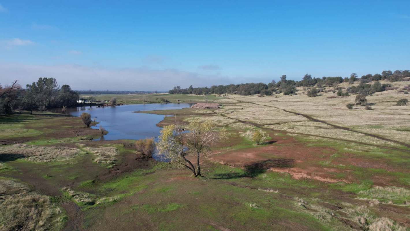
Scientists say parts of California's Sacramento Valley are subsiding so quickly that some of the damage below the surface could be permanent.
The consequences reach water supplies, infrastructure, and farm communities across one of the country's key agricultural regions.
Here's what to know
According to new research, some sections of the valley floor sank by as much as 1.5 feet in a single year during California's 2020-2022 drought, Newsweek reported.
In the July study published in the Proceedings of the National Academy of Sciences, researchers said the rate of sinking rose sharply during that drought.
When surface-water supplies tighten, the Sacramento Valley relies heavily on groundwater. As reservoir levels fell and river flows dropped during the drought, farmers pumped more water from aquifers to keep crops alive.
Researchers said this was more than typical land subsidence. In many places, ground movement that had been mostly reversible appears to have shifted into permanent compaction, with underground sediments squeezed past the point of recovery.
TCD Picks » Quince Spotlight
💡These best-sellers from Quince deliver affordable, sustainable luxury for all




If the pore space inside an aquifer collapses, wetter years may not fully restore it. The land may not rise back, and the aquifer may never recover all of its former water-storage capacity.
More background
Because the Sacramento Valley is such a significant part of California's farm economy — and California is so important to the nation's food supply — lasting groundwater losses matter far beyond a single drought.
The study suggests the problem extends farther than older monitoring methods indicated. Traditional wells missed much of the scale, while satellite observations revealed a broader regional response across the valley floor.
With drought becoming more common and water demand remaining high, permanent groundwater losses could undermine food production, drive up costs, and weaken the systems communities rely on every day.
What can be done?
Improved monitoring is one of the clearest tools. Researchers used satellite observations of subtle surface movement to help identify places where subsidence continued even after groundwater levels improved, according to Newsweek.
That broader view could help water managers identify danger zones sooner and better understand when pumping pushes aquifers past the point of recovery. Tracking subsidence patterns is becoming a key part of groundwater management.
Protecting groundwater reserves during drought will be critical. The findings point to the need to balance emergency water use with the reality that aquifers are not endless backup tanks.
When aquifers are damaged, the effects can ripple outward — from farm fields to grocery bills to the resilience of entire communities.
The map in the report suggests this is not an isolated issue. Large parts of the Sacramento Valley may have crossed a threshold during the 2020-2022 drought, leaving some lost groundwater storage capacity unlikely to return.

Get TCD's free newsletters for easy tips, smart advice, and a chance to earn $5,000 toward home upgrades. To see more stories like this one, change your Google preferences here.