Canadians may soon see more useful storm warnings on their phones, as Environment and Climate Change Canada moves to smaller storm warning zones for more precise predictions.
Here's what to know
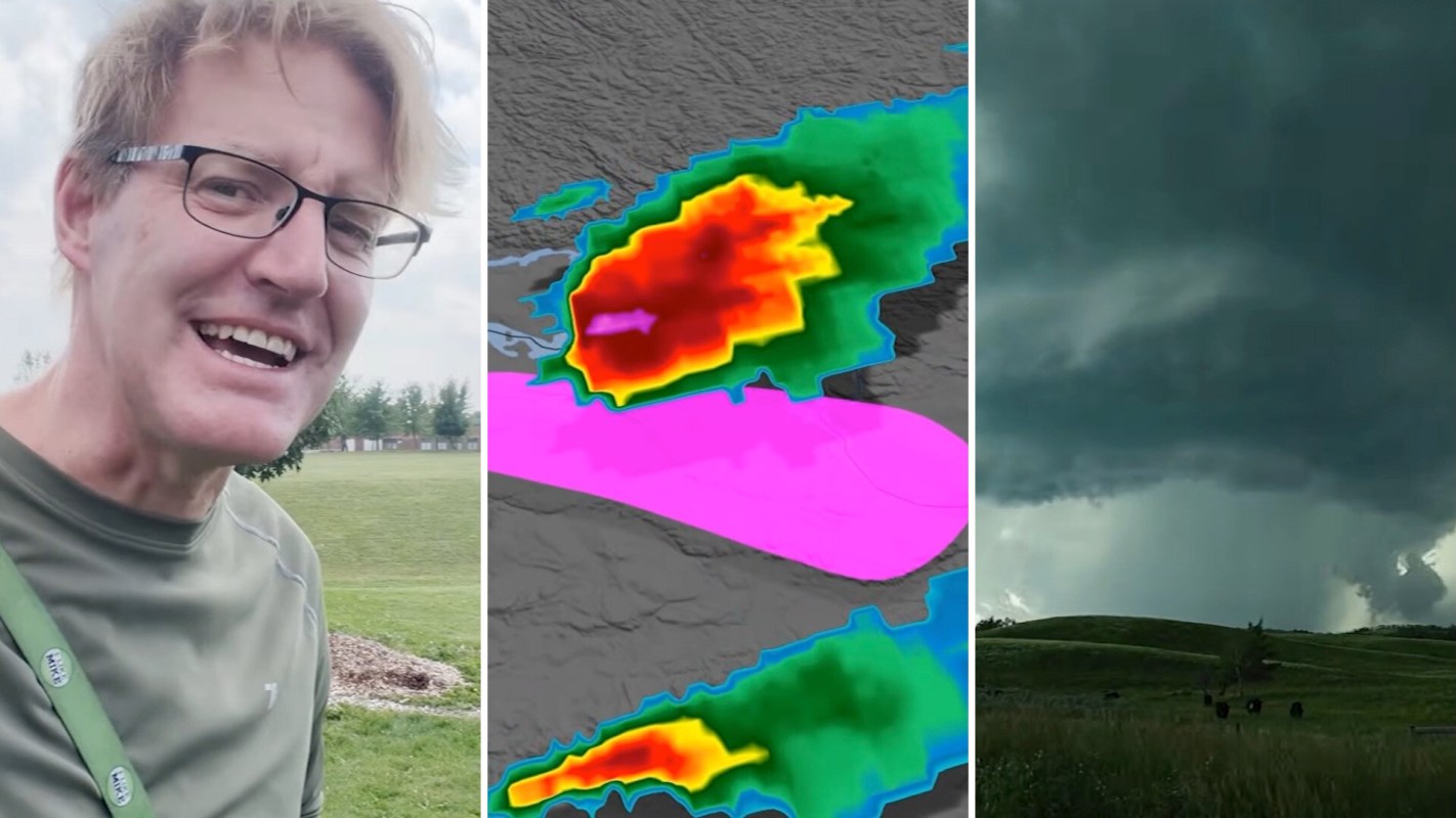
Mark Robinson of The Weather Network said in a video that current storm warning regions cover a lot of territory. Because those boundaries are so broad, someone far from a storm will often receive the same notice as someone directly in its path.
Robinson explained, "Many of the people included in the warning aren't actually in danger." If that keeps happening, people may start tuning the alerts out, which undermines the purpose of sending them in the first place.
Instead of relying on those bigger preset zones, the update will let warnings follow smaller polygon shapes around the threat itself and the area it is likely to reach next. That allows officials to single out the part of a region that is truly exposed rather than blanketing everyone with the same message.
That tighter targeting is expected to stand out most on Alert Ready wireless devices. As Robinson described, "The wireless footprint will be a lot smaller with polygons."
Why is this important?
With the newer system, the highest-risk slice of a storm can be marked off more narrowly, limiting alerts to people who are actually in its projected path. Not only will it be more effective, but it will hopefully help people who are actually in danger.
TCD Picks » Quince Spotlight
💡These best-sellers from Quince deliver affordable, sustainable luxury for all




It could make a huge difference in everyday moments, such as deciding whether to delay a drive, move indoors, pull children off a field, or check on a family member in another neighborhood. Better precision can also help reduce alert fatigue without reducing urgency for the people who truly need to respond.
One comment on the video said, "Finally! Nice to hear Canada is catching up! The old system was very annoying."
What's being done?
The rollout from Environment and Climate Change Canada also includes partial automation in how warning text is generated. Using information from a forecaster's workflow, the system can populate details like where the storm is headed, how fast it is moving, and which locations appear most at risk.
That setup could help alerts go out more efficiently while still reflecting a forecaster's judgment. It should also make the warnings more closely tied to a person's current position. Robinson said, "if you're in the car, you'll get warnings based on exactly where you are."
There may be some adjustment as apps, maps, and users adapt to the new format.

Get TCD's free newsletters for easy tips, smart advice, and a chance to earn $5,000 toward home upgrades. To see more stories like this one, change your Google preferences here.